 FalconCDS
Our Mission
Accelerate project timelines by replacing ground surveys with reliable, scalable aerial data capture.
Read more →FalconCDS delivers FAA-certified drone services for construction, agriculture, energy, and infrastructure—mapping, surveying, inspections, and 3D modeling with centimeter precision.
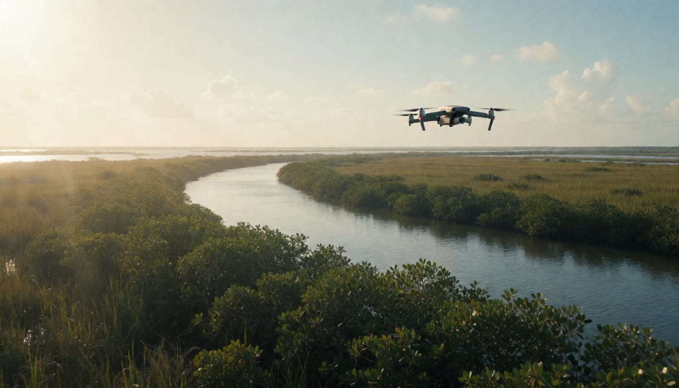
FalconCDS is a professional commercial drone operator serving project managers, engineers, and surveyors across heavy industry. We replace slow, costly ground surveys with rapid, high-fidelity aerial data—captured, processed, and delivered with RTK-grade accuracy and full FAA compliance.
Tailored aerial solutions for complex commercial environments—designed to integrate directly into your engineering, planning, and maintenance workflows.
See all of Our Services →RTK-enabled orthomosaic maps, DEMs, contour lines, and volumetric analysis up to 500 acres with centimeter accuracy.
4K video and high-resolution imagery for marketing, progress documentation, real estate, and event coverage.
Visual and thermal inspections of bridges, towers, rooftops, and industrial facilities—no scaffolding or rope access needed.
Photorealistic digital twins from photogrammetry, ready for CAD integration, stakeholder reviews, and virtual walkthroughs.
Dense LiDAR-informed point clouds for earthwork calculations, drainage analysis, and land development.
Automated repeat flights create a chronological visual record of site progress for tracking and reporting.
We combine certified pilots, enterprise-grade drone systems, and field-proven processing workflows to deliver reliable, audit-ready data—on time and within regulatory requirements.
See all of Why FalconCDS →All pilots hold FAA Part 107 certification and carry comprehensive liability insurance.
Real-Time Kinematic positioning enables centimeter-level accuracy without ground control points.
Designed for construction, agriculture, energy, and infrastructure workflows—no generic templates.
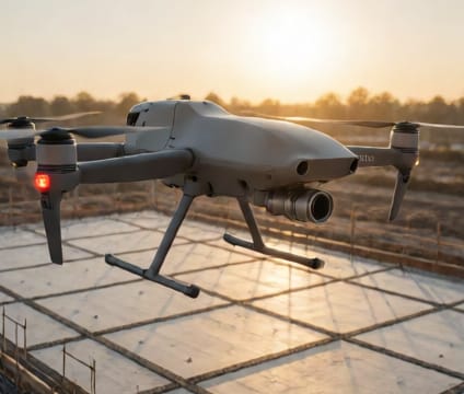
From inquiry to deliverable—our process is designed for predictability, speed, and integration with your existing project systems.
See all of How It Works →Founded to solve a real problem: the gap between critical project deadlines and the limitations of traditional surveying. Our mission is to provide faster, safer, and more accurate spatial data—without compromise.
See all of About FalconCDS →Accelerate project timelines by replacing ground surveys with reliable, scalable aerial data capture.
Read more →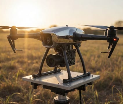
Excellence in flight operations and data processing; Collaboration with client workflows; Innovation through sensor and software adoption; Growth via pilot training and fleet upgrades.
Read more →
Operators with field experience in surveying, engineering support, and infrastructure maintenance—translating operational knowledge into every mission.
Read more →Ready to start your project? Contact us directly or fill out the form—we’re available for consultation and quoting Monday through Friday, 9am–6pm EST.