 FalconCDS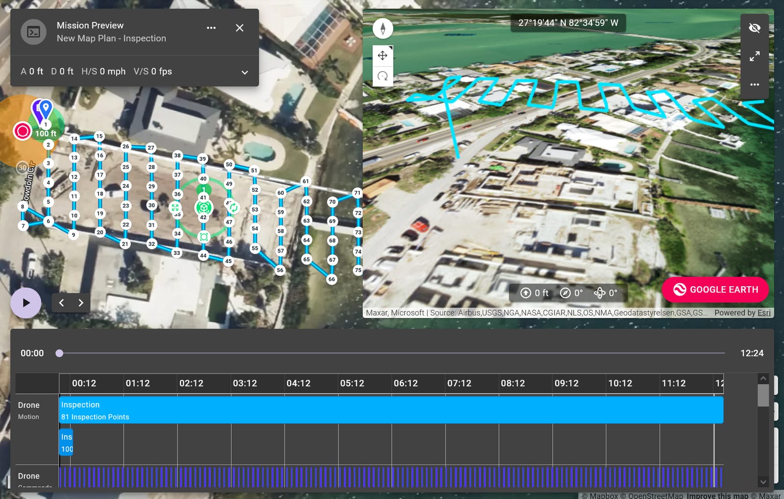
Our Mission
Replace slow, costly ground surveys with reliable, scalable drone-based mapping to meet tight construction and infrastructure project deadlines.
Read more →FalconCDS was founded to solve a real problem: the gap between critical project deadlines and the limitations of traditional surveying. We deliver faster, safer, and more accurate spatial data—without compromise. Operating from Boca Raton, we deploy RTK-accurate drone systems to replace slow, expensive ground methods with rapid, repeatable aerial capture. Our clients include construction teams, engineers, surveyors, and facility operators who need reliable geospatial intelligence to move projects forward with confidence.
Replace slow, costly ground surveys with reliable, scalable drone-based mapping to meet tight construction and infrastructure project deadlines.
Read more →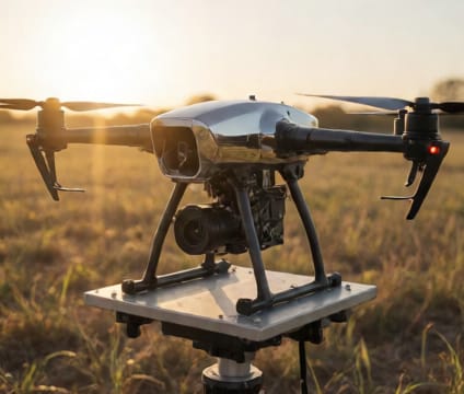
We uphold rigorous operational standards while evolving our capabilities through hands-on collaboration and continuous investment in people and technology.
Read more →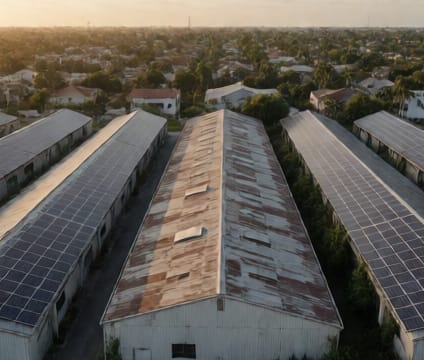
Our operators combine hands-on survey and engineering experience to design missions that capture exactly the data you need—no more, no less.
Read more →Ready to start your project? Contact us directly or fill out the form—we’re available for consultation and quoting Monday through Friday, 9am–6pm EST.