 FalconCDS
Mapping & Surveying
Accurate RTK-enabled orthomosaic maps, DEMs, contours, and volumetric analysis for sites of varying sizes.
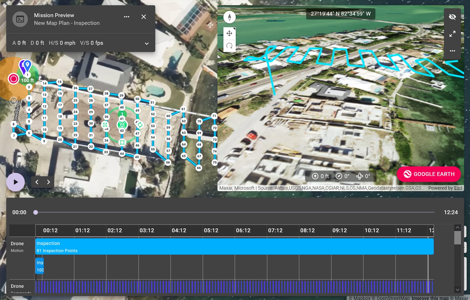
We generate orthomosaic maps with RTK positioning to achieve high real-world accuracy—without ground control points—cutting field time significantly. This eliminates the need for tedious on-ground benchmarks and allows rapid capture across large parcels. Our workflows are optimized for construction staging, site planning, and land development where timing and precision directly impact ROI.
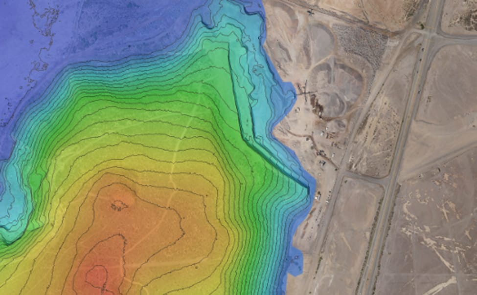
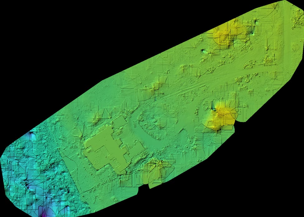
Digital Elevation Models and contour lines are generated using dense image correlation and photogrammetric processing, producing terrain data suitable for grading, drainage modeling, and earthwork calculations. Deliverables are georeferenced to standard coordinate systems with clear metadata, ensuring compatibility with standard CAD and GIS platforms. These grids serve as the baseline for volume comparisons before and after grading.
Volumetric analysis supports stockpile management, cut-and-fill estimation, and progress verification. We use consistent flight protocols and calibration routines to ensure repeatable measurements across multiple missions. Results are provided in standard formats such as PDF reports and common geospatial file types for integration into existing project documentation and reporting tools.