 FalconCDS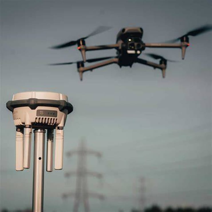
Certified Operators
Our FAA Part 107-certified pilots operate under strict safety protocols and carry comprehensive liability insurance for every mission.
Read more →FalconCDS combines certified FAA Part 107 pilots, enterprise-grade drones with RTK positioning, and field-optimized processing workflows to deliver audit-ready data on time and within regulatory requirements. We eliminate the delays and expense of traditional surveying by bringing precise, scalable aerial insights directly to your project—where and when you need them.
Our FAA Part 107-certified pilots operate under strict safety protocols and carry comprehensive liability insurance for every mission.
Read more →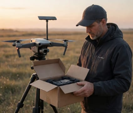
We launch drone operations within 24 hours of project approval, shortening project timelines without sacrificing safety or data quality.
Read more →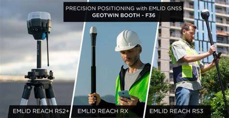
Real-Time Kinematic (RTK) positioning delivers centimeter-level accuracy on every mapping or survey mission without ground control points.
Read more →
Our workflows are built around the specific needs of construction, energy, agriculture, and infrastructure—not generic aerial imaging templates.
Read more →Ready to start your project? Contact us directly or fill out the form—we’re available for consultation and quoting Monday through Friday, 9am–6pm EST.