 FalconCDS
Fly & Process
Flights execute under FAA waivers as needed; raw data is processed in-house using RTK correction workflows.
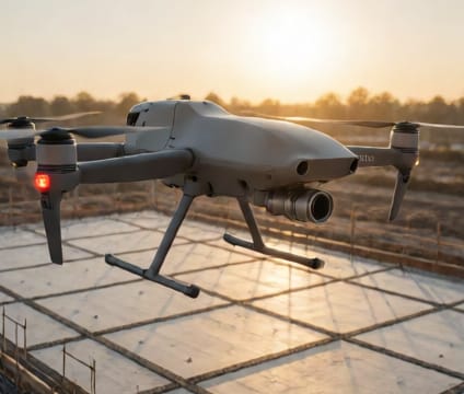
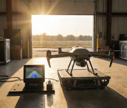
Each flight follows a pre-approved mission plan with redundant safety checks, including pre-flight battery diagnostics, GPS integrity verification, and emergency abort protocols. Our pilots use enterprise-grade drones equipped with RTK receivers and calibrated photogrammetry sensors to ensure maximum geospatial accuracy. Flights are conducted under FAA waivers for beyond visual line of sight or nighttime operations only when required by scope or site constraints.
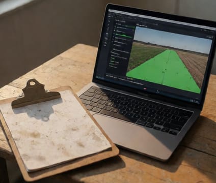
Raw imagery and sensor data flow directly into our internal processing pipeline, where RTK correction is applied using base station data or NGS CORS network integration. This eliminates the need for ground control points in most cases and shortens on-site time. We process overlapping image sets using photogrammetry best practices to generate dense, accurate point clouds—always verified with cross-checks to maintain survey-grade integrity.
Processing runs in parallel with flight operations when logistics allow, so data review can begin as soon as the drone lands. Our quality assurance step includes checking for consistent scale, positional accuracy, and geometric fidelity before proceeding to final output generation. This ensures your deliverables meet engineering or inspection standards without requiring rework.