 FalconCDS
Industry Experience
Our workflows are built around the specific needs of construction, energy, agriculture, and infrastructure—not generic aerial imaging templates.
Each FalconCDS mission is designed around industry-specific requirements. Construction teams need volume reports, progress tracking, and as-built models integrated with CAD. Energy clients require thermal anomalies on solar arrays or transmission lines. Agriculture projects demand NDVI or multiband surveys. We adjust flight patterns, sensor selection, and processing parameters to match those goals—no off-the-shelf solutions.
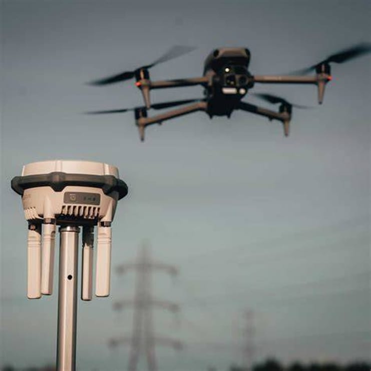
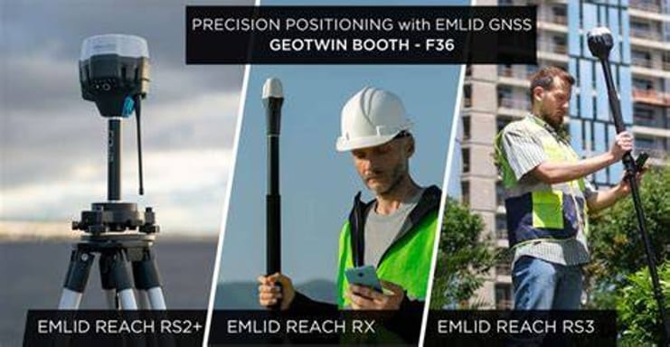
Our team understands the deliverables that drive project decisions: contoured DEMs for drainage studies, orthomosaics for progress photography, 3D models for stakeholder reviews. We coordinate with your surveyor or engineer to ensure georeferencing aligns with your coordinate system and datum standards. This reduces rework and accelerates integration into existing workflows.
We’ve supported site prep for high-rise development, linear corridor mapping for pipeline right-of-way inspections, crop health monitoring across thousands of acres, and routine structural inspections of bridges and tanks. Each domain has unique compliance and precision expectations, and we tailor our methods accordingly—without compromising on safety or data integrity.