 FalconCDS
Deliver & Integrate
Receive deliverables in your preferred format—GIS layers, orthophotos, 3D models, reports, or raw media.
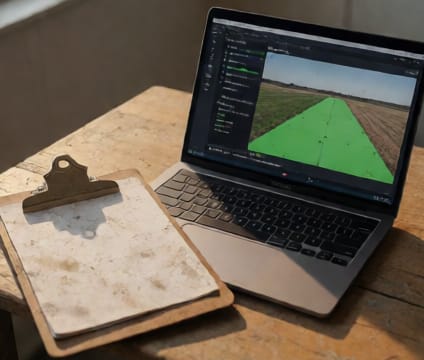
We deliver data in the file formats and coordinate systems your team uses daily—such as shapefiles for ArcGIS, GeoTIFF for orthomosaics, or COLLADA/KML for 3D models. All files are packaged with metadata including flight date, GPS coordinates of control points, and processing notes. For integrated workflows, we can embed deliverables directly into your project server or cloud workspace upon request.
Our standard reporting includes annotated aerial images, measurement summaries, and flagged anomalies where applicable—like volume discrepancies or structural deviations—so your engineers can quickly validate findings. For inspections, thermal overlays or zoom-enhanced defect markers are included to support root cause analysis. Reports follow your team’s terminology to avoid translation delays during review.
We test deliverable compatibility with common industry software before shipping—such as Civil 3D, Trimble, or OpenLayers—to prevent integration friction. If your project requires custom export scripts or automated FTP uploads, our technical team can support integration as part of the delivery plan. This ensures your team spends time analyzing insights, not fixing broken imports.