 FalconCDS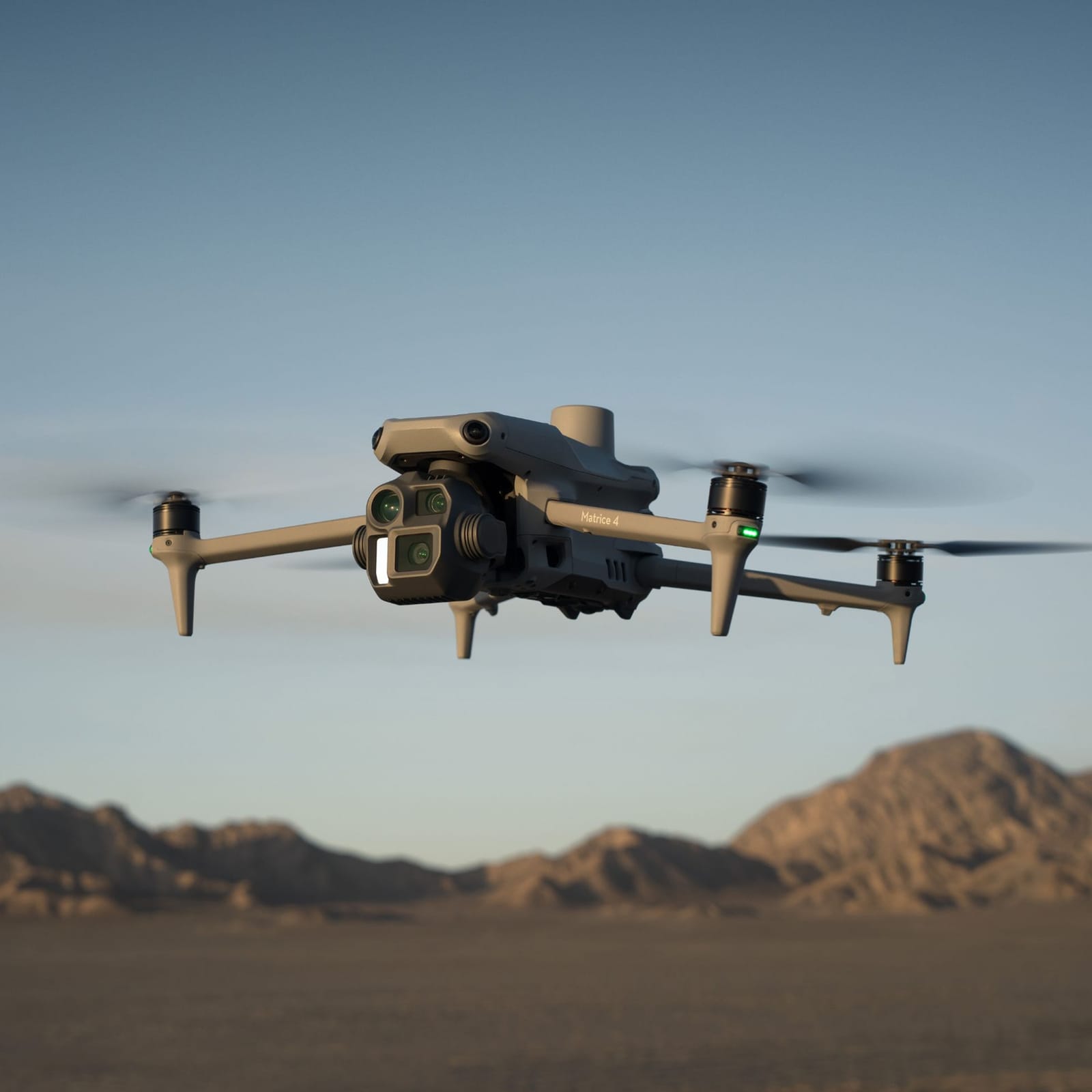
Mapping & Surveying
Accurate RTK-enabled orthomosaic maps, DEMs, contours, and volumetric analysis for sites of varying sizes.
Read more →FalconCDS delivers precise, regulatory-compliant aerial data solutions for commercial projects—cutting survey time from days to hours while replacing costly ground methods with centimeter-accurate, georeferenced deliverables. Our certified team deploys within 24 hours, operating across Boca Raton and beyond with enterprise-grade drones and RTK-enabled sensors. Each mission is designed to integrate directly into your engineering, planning, or maintenance workflow—providing actionable insights, not just imagery.
Accurate RTK-enabled orthomosaic maps, DEMs, contours, and volumetric analysis for sites of varying sizes.
Read more →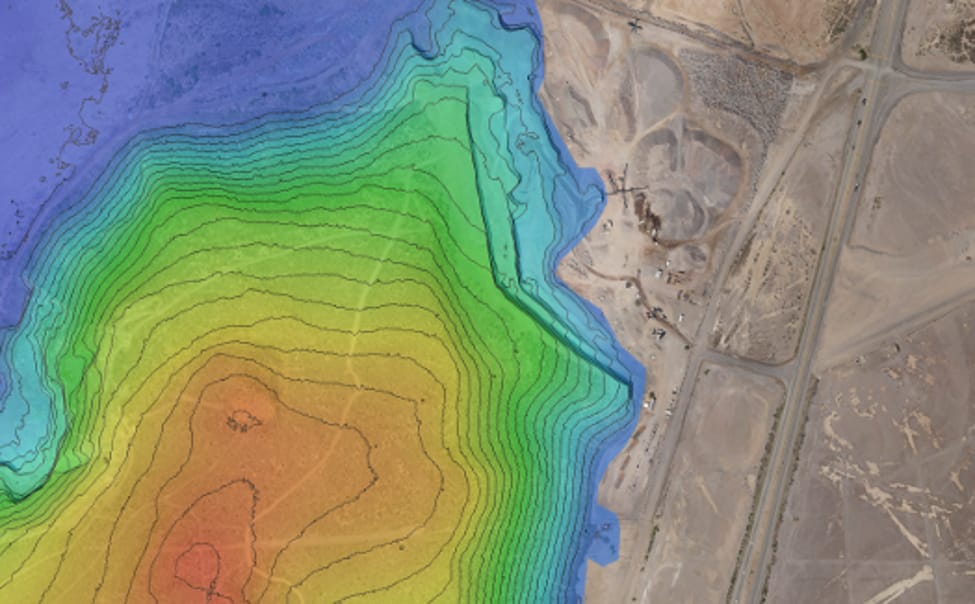
High-resolution 4K imagery and video for marketing, progress documentation, real estate, and event coverage.
Read more →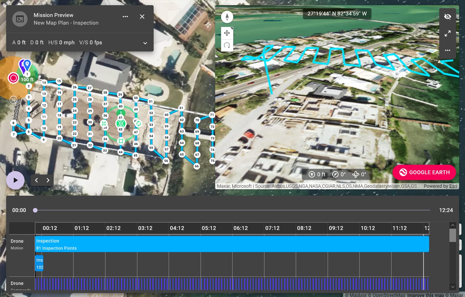
Visual and thermal inspections of bridges, towers, rooftops, and industrial facilities—no scaffolding required.
Read more →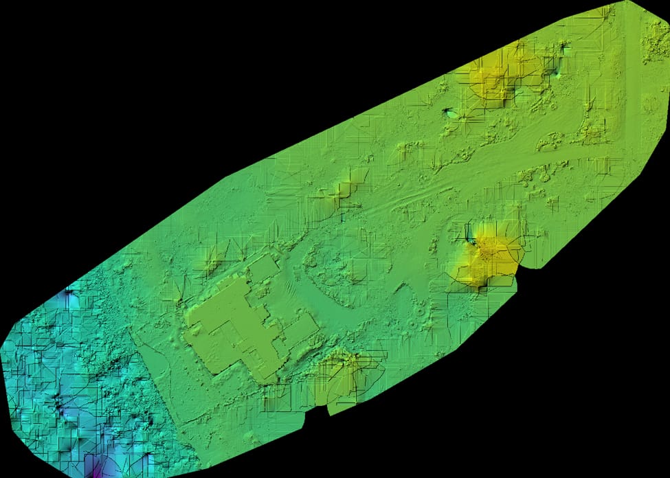
Photorealistic digital twins from photogrammetry, ready for CAD, stakeholder reviews, and virtual walkthroughs.
Read more →Dense LiDAR-informed point clouds for earthwork, drainage, and land development—faster and safer than ground surveys.
Read more →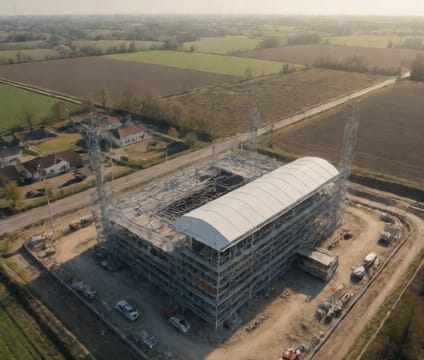
Automated repeat flights create a chronological visual record of site progress for tracking and reporting.
Read more →Ready to start your project? Contact us directly or fill out the form—we’re available for consultation and quoting Monday through Friday, 9am–6pm EST.