 FalconCDS
RTK Precision
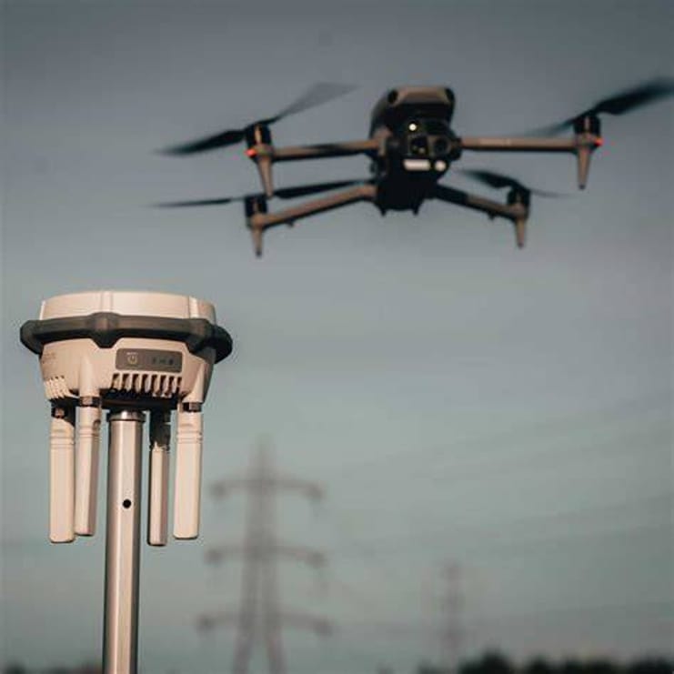
Real-Time Kinematic (RTK) positioning delivers centimeter-level accuracy on every mapping or survey mission without ground control points.
RTK corrects GPS signals in real time by comparing satellite data against a fixed base station, reducing positional errors from meters to centimeters. FalconCDS integrates RTK-enabled drones with post-processing kinematic (PPK) backup for missions where real-time data links are unreliable. This hybrid approach ensures precision regardless of environmental conditions or terrain blockage.
We avoid reliance on ground control points—time-consuming survey markers usually required for standard drone mapping. RTK eliminates most of that fieldwork, shrinking flight time, reducing site disruption, and accelerating final deliverables. The result is consistent accuracy across sites up to 500 acres, suitable for volumetric calculations, design validation, and compliance verification.
Our processing workflows include automated quality checks to confirm accuracy meets or exceeds tolerances needed for engineering submissions. Final deliverables include positional metadata and accuracy reports showing horizontal and vertical RMSE values. Clients receive data that holds up to peer review or regulatory inspection without needing additional validation.