 FalconCDS
Our Team
Our operators combine hands-on survey and engineering experience to design missions that capture exactly the data you need—no more, no less.
Our team includes former survey technicians, civil engineering support staff, and infrastructure maintenance professionals who understand site constraints from the ground up. They know what survey marks look like, where erosion typically accumulates, or how roof access points behave on industrial facilities. This background lets us design flight paths that cover all critical features without unnecessary passes, saving time and reducing data clutter.
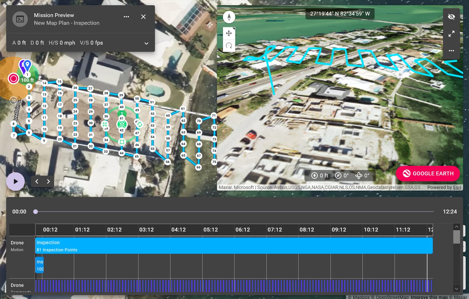
Each operator translates field knowledge into mission planning: recognizing when a site’s slope requires specific overlap settings, identifying potential RF interference zones near metal structures, or understanding how lighting angles affect shadow quality in orthomosaics. They don’t just fly drones—they tailor every approach to the terrain, objectives, and deadlines, ensuring first-flight data meets engineering-grade requirements.
Collaboration is built into our process. Before launch, operators discuss access points, staging areas, and stakeout requirements with your crew. Post-flight, they clarify data structure and accuracy notes so your team can plug results directly into modeling or analysis software. This shared language speeds handoffs and reduces miscommunication—critical when projects move on tight timelines.