 FalconCDS
Aerial Photography
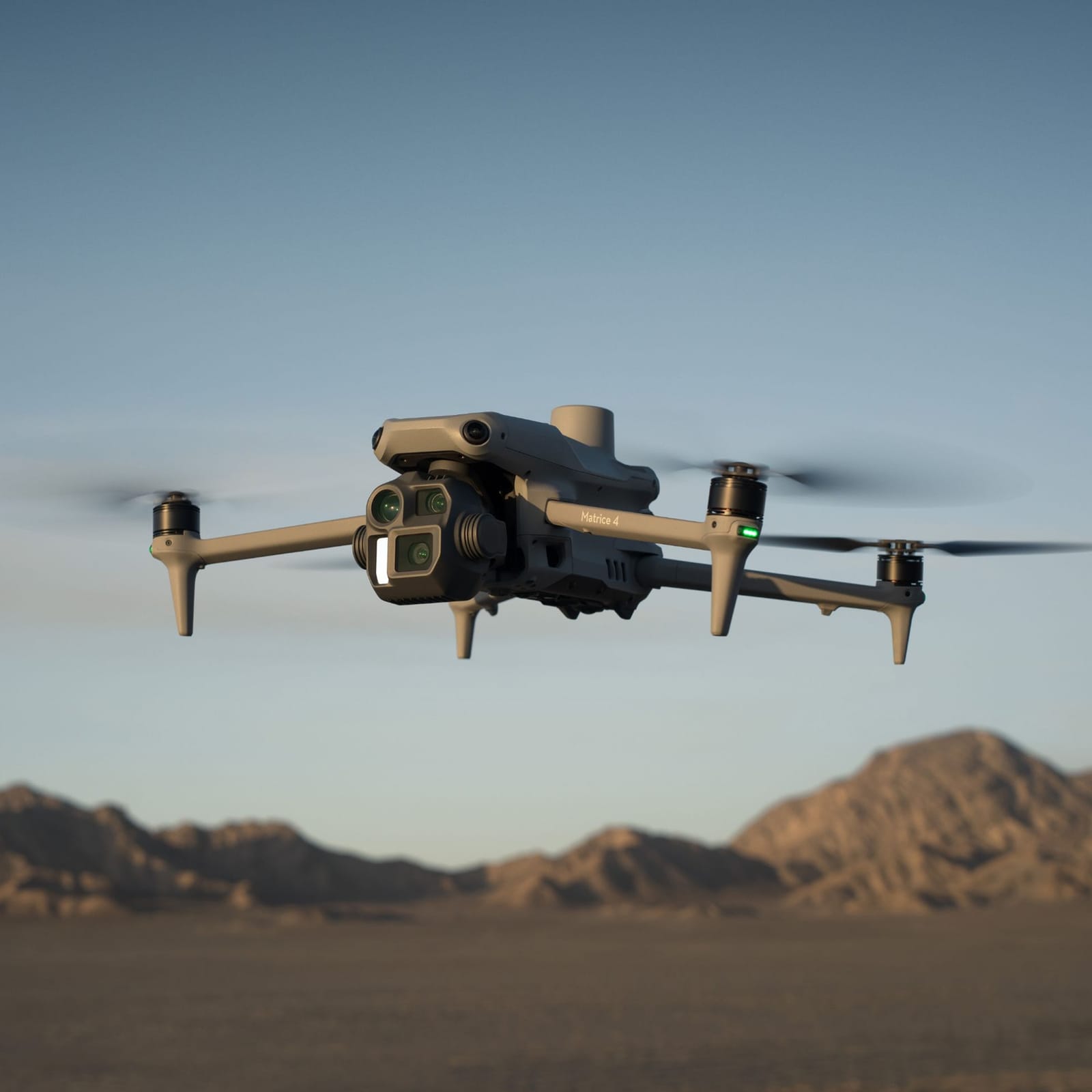
High-resolution 4K imagery and video for marketing, progress documentation, real estate, and event coverage.
Our aerial photography delivers distortion-free visuals critical for client presentations, public outreach, and digital marketing. Using calibrated sensors and optimal lighting windows, we capture true-color imagery with consistent exposure and sharpness—essential for branding materials, drone reels, and social content. All images include embedded GPS metadata for context and geolocation verification.
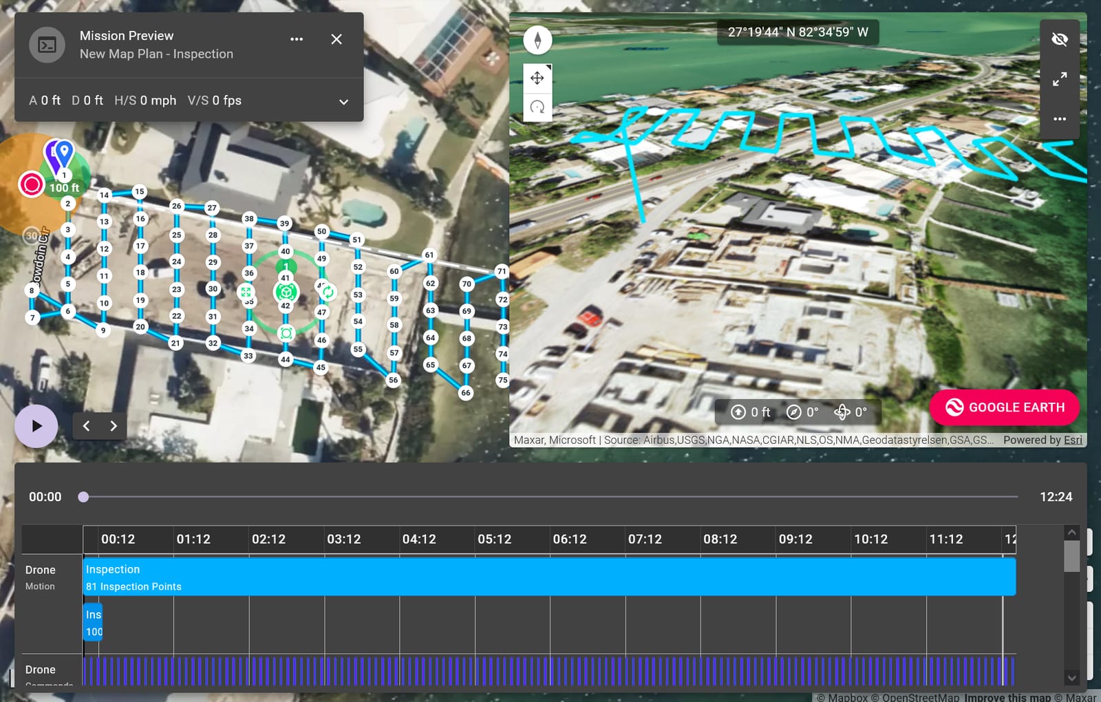
For progress tracking and documentation, we time flights to align with weekly site activity and use consistent flight paths to ensure comparable imagery across missions. This enables side-by-side reviews of site evolution and helps identify delays or rework early. Imagery can be stitched into panoramas or used in time-lapse sequences for stakeholder updates and regulatory submissions.
Real estate and inspection clients benefit from high-resolution stills that highlight scale, access, and surroundings—offering perspectives impossible from ground level. Thermal and zoom-assisted capabilities are available for certain missions, but standard photography focuses on fidelity, resolution, and lighting to support commercial and legal uses without over-processing.