 FalconCDS
Our Values
We uphold rigorous operational standards while evolving our capabilities through hands-on collaboration and continuous investment in people and technology.
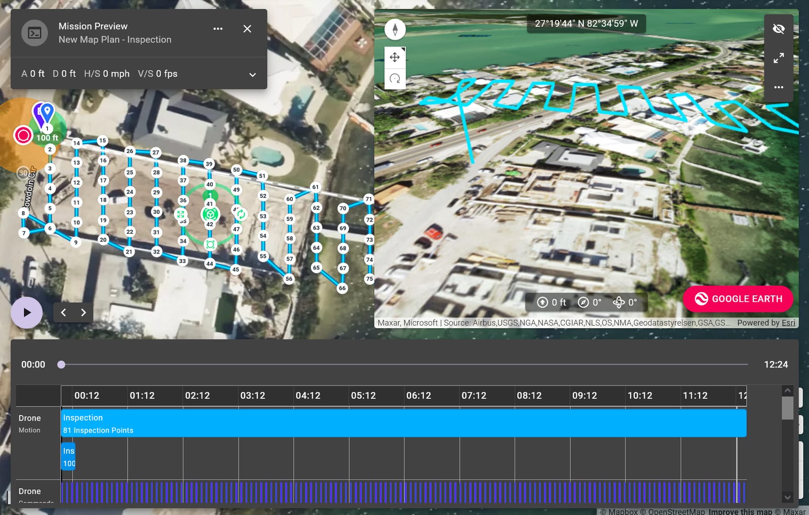
Excellence starts with certified pilots and validated flight protocols. Every mission adheres to FAA Part 107 requirements and includes comprehensive liability coverage. Our data processing leverages proven photogrammetry software to generate consistent, survey-grade outputs—no shortcuts. This discipline ensures that what you receive meets engineering or regulatory expectations, from DEMs to 3D models, without guesswork or post-processing surprises.
We integrate with your existing workflows by aligning deliverables with your preferred software platforms and reporting formats. Need contours in AutoCAD or point clouds in ArcGIS? We adapt. Our team coordinates with survey crews, project managers, and GIS specialists to define accuracy requirements, coverage zones, and metadata standards up front. This minimizes rework and keeps data flowing smoothly into your decision-making tools.
Innovation means adopting sensors and workflows that solve real-world problems—not chasing trends. When thermal imaging or zoom capabilities improve defect detection on infrastructure, we integrate them. When new photogrammetry techniques boost model fidelity, we update our processing pipeline. These upgrades happen because our team constantly evaluates how emerging tools improve data utility for clients, not just technical novelty.