 FalconCDS
Topographic Survey Data
Dense LiDAR-informed point clouds for earthwork, drainage, and land development—faster and safer than ground surveys.
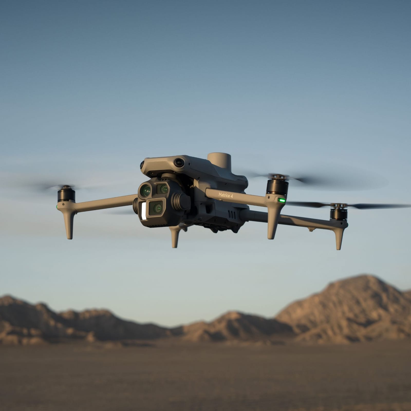
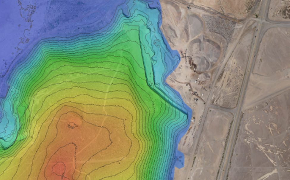
Our topographic surveys combine high-density imagery with LiDAR for rich elevation data, especially where dense vegetation or rough terrain limits photogrammetry alone. This hybrid approach yields detailed Digital Terrain Models and point clouds accurate to centimeters, supporting cut-and-fill calculations, slope analysis, and stormwater modeling. Data is captured in a single pass and requires minimal ground truthing.
We deliver structured contours, spot elevations, and breaklines for drainage modeling—formatted for immediate use in civil engineering software. DEMs and DTMs are generated at user-defined resolutions and projected to client-specified coordinate systems. These datasets support permitting, grading design, and earthwork estimation with confidence in accuracy and completeness.
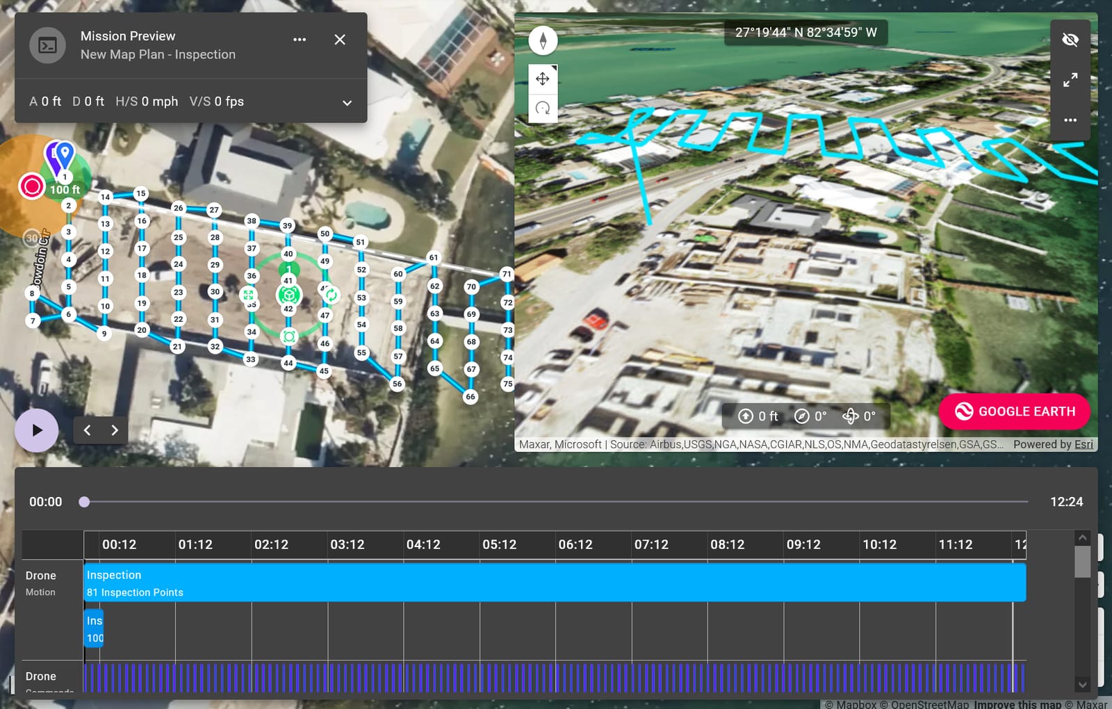
Because surveys are completed rapidly in the air, crews avoid time-consuming and hazardous manual traverses. Field teams can focus on critical verification points, not full-site measurement. All topographic deliverables include metadata describing sensor specs, ground control usage, and processing notes—ensuring compliance with survey standards and ease of audit.