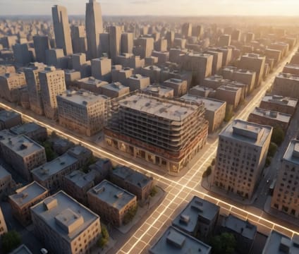
Temporal snapping
Align events to structural milestones or environmental thresholds with grid snapping across time and space.
Read more →A collaborative platform for modeling dynamic systems where time is a spatial dimension—visualize, animate, and test change across architecture, infrastructure, and data.
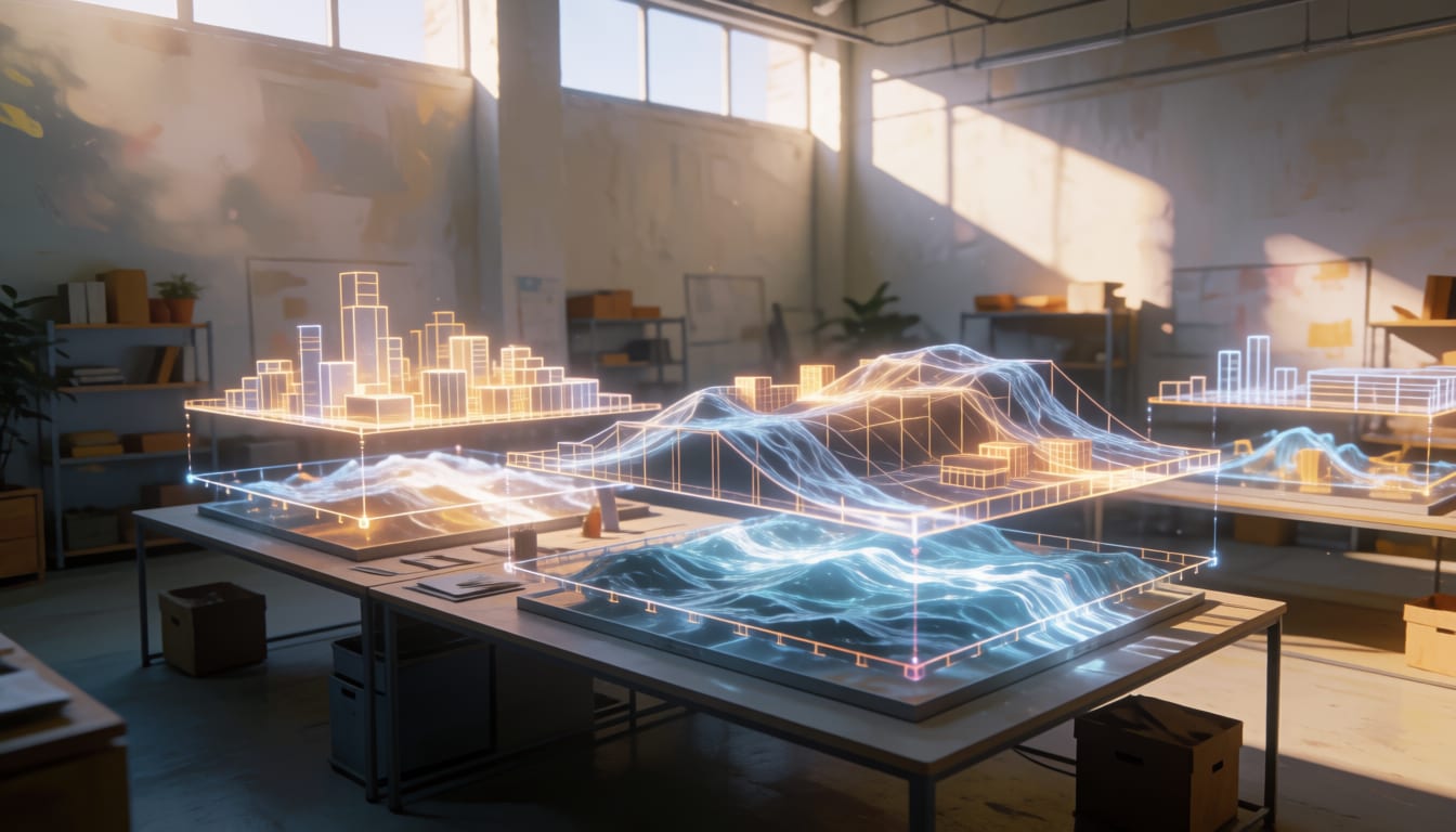
Drag, scrub, and lock time across live 3D scenes. The timeline isn’t a playback bar—it’s a parametric control surface where temporal relationships (duration, rhythm, sequence) directly reshape geometry, material states, and environmental conditions in real time.
See all of Time-anchored 3D Workspace →Align events to structural milestones or environmental thresholds with grid snapping across time and space.
Read more →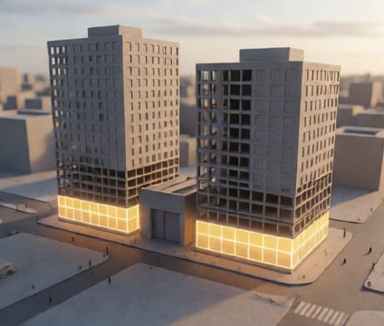
Create parallel timelines—test flood projections against retention walls, or overlay pedestrian flow models onto circulation diagrams.
Read more →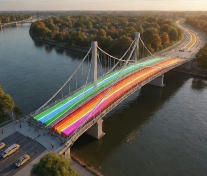
Embed live CAD/BIM layers andGIS footprints that respect civil engineering tolerances and datum alignment.
Read more →Professionals shape time differently: architects sequence material aging, scientists project ecosystem transitions, educators model historical turnover. Each role brings its own semantic layers—but all converge on shared spatial narratives.
See all of Use Cases by Profession →Model façade degradation in situ, animate construction phasing against seasonal light, simulate occupancy patterns over a building’s 75-year design life.
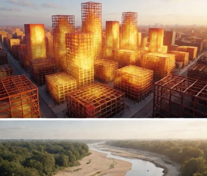
Stack multi-decade transit expansions over zoning overlays, animate heat island mitigation from street tree maturation, test resilience under repeated flood cycles.
Anchored time-series to geometry—overlay traffic sensor readings onto junctions, animate energy load curves against HVAC system deployments, correlate seismic readings to fault-line ruptures.
Build timelines across geological epochs in 3D terrain, animate coral bleaching events over reef topography, visualize linguistic diffusion across centuries.
Import raw temporal geometry and metadata through native connectors. The platform normalizes civil, geospatial, and scientific data into a single temporal mesh—without forcing re-topologizing or manual time-stamping.
See all of Data Ingestion →CSV, JSON, Excel with drag-and-drop field mapping to geometry attributes and timestamps.
Teams edit shared timelines in parallel, version states with temporal snapshots, and resolve divergent futures against shared spatial baselines. Changes retain provenance: who altered the construction sequence, when, and against which reference model.
See all of Collaboration Layer →Powered by WebGL and WebAssembly, 4d.io runs entirely in the browser—no plugin installs or GPU bottlenecks. Its RESTful API ingests and exports model state, metadata, and time-series in standardized formats, supporting custom automation or integration into existing geospatial pipelines.
See all of Technical Foundation →
Native browser performance via WebGL 2.0 and WebAssembly, scaling from laptops to immersive displays.
Read more →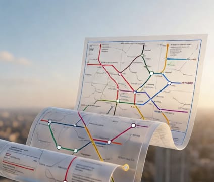
CRUD endpoints for timelines, objects, and attributes; webhooks for change events and user activity.
Read more →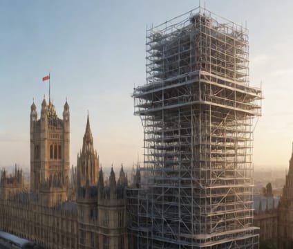
Preserves coordinate reference systems, units, element hierarchies, and attribute schemas on import.
Read more →
Tiered access aligns with professional workflows—individuals prototype on Desktop Pro, teams collaborate via Studio seats, and institutions deploy custom, white-labeled environments with dedicated support and API credit pools.
See all of Pricing & Demo →Questions or ideas about 4d.io? Send a note and we will get back to you.
For acquisition, partnership or investment inquiries about 4d.io, use this form.