
BIM / CAD
Import IFC, RVT, and DWG files directly with element-level time mapping for lifecycle modeling.
Read more →4d.io accepts raw time-anchored geometry and metadata directly from industry-standard tools, preserving structural integrity while embedding temporal meaning into every vertex, edge, and face. By aligning civil, geospatial, and tabular datasets within a unified temporal mesh, the platform eliminates manual time-stamping and topological rework, so your project stays precise and iteratively flexible.
Import IFC, RVT, and DWG files directly with element-level time mapping for lifecycle modeling.
Read more →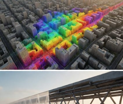
Bring in GeoTIFF, Shapefile, and GeoJSON with automatic time-stamping aligned to coordinate systems.
Read more →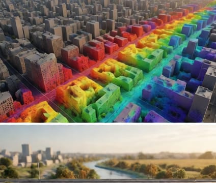
Connect CSV, JSON, or Excel tables to geometry through drag-and-drop field mapping and timestamps.
Read more →Questions or ideas about 4d.io? Send a note and we will get back to you.