Urban Planners
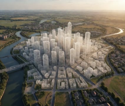
Overlay decades of transit growth, vegetation maturation, and flood recurrence on existing zoning and terrain.
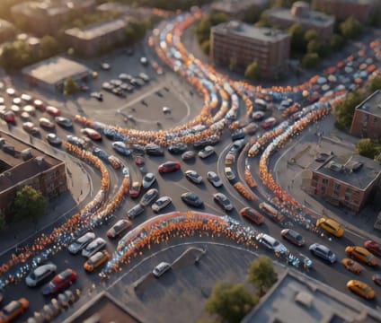
Urban planners can stack multiple expansion phases of transit networks over current zoning layers to spot conflicts before implementation. By animating new rail lines or bus corridors against existing land use, teams spot gaps in service coverage, access inequities, and opportunities for transit-oriented development—all while preserving existing built forms.
Green infrastructure timing can be modeled precisely: planting street trees and tracking canopy growth over 20+ years against projected heat-island indices. This reveals how and when shading and evapotranspiration reduce ambient temperatures in dense corridors, allowing planners to prioritize interventions where maturation timing aligns with climate risk windows.
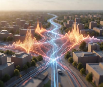
Resilience testing includes simulating repeated flood cycles layered over topography and infrastructure. Planners watch how water moves through neighborhoods under varying sea-level rise or precipitation scenarios, testing how engineered systems perform across multiple return periods and identify critical vulnerabilities in drainage or emergency routes.