GIS
Bring in GeoTIFF, Shapefile, and GeoJSON with automatic time-stamping aligned to coordinate systems.
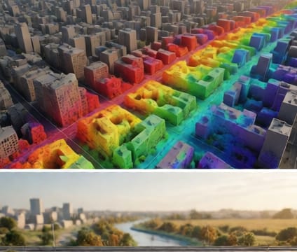
4d.io ingests geospatial layers and links their spatial reference to time using embedded timestamps or metadata such as acquisition dates or simulation periods. GeoTIFF raster files that include DOY (day-of-year) or ISO 8601 timestamps in their auxiliary files automatically populate the temporal axis without user intervention. Vector formats like Shapefiles and GeoJSON benefit from optional time-extent fields—like VALID_START and VALID_END—converted into keyframes for morphing or layer transitions.
All ingested GIS data respects geodetic datums through embedded coordinate reference system definitions. Whether your dataset is in WGS84, NAD83, or a local projected system, the platform converts and aligns it on import so overlapping layers—like floodplains, zoning boundaries, and infrastructure networks—share a coherent spatial and temporal footprint. This avoids manual reprojection steps that can introduce rounding errors or misaligned timelines.
When working with historical maps or sensor readings over time, you can adjust the resolution of temporal interpolation—such as linear versus step-wise transitions—based on how the phenomenon changes. This matters when animating land-cover change, where abrupt shifts require step changes, versus gradual temperature trends, where smooth interpolation better reflects reality. These preferences save setup time for consistent animation behaviors across future imports.