Educators
Visualize geological epochs, coral bleaching, and linguistic diffusion across 3D terrain and cultural boundaries.
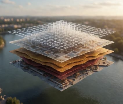
Geological timelines can be projected onto 3D terrain models—mountains rising, rivers carving, seas retreating—so students grasp deep time through direct spatial relationships. Each epoch appears with its characteristic flora, fauna, and topography, anchoring abstract dates to tangible change.
Coral reef systems can animate centuries of bleaching events alongside temperature anomalies and ocean acidification data. By overlaying loss percentages onto reef topography, learners witness spatial progression of degradation and correlate it with environmental stressors in ways 2D graphs cannot convey.
Language spread across continents can be modeled with migration paths and settlement waves projected onto physical geography. Teams visualize how linguistic divergence or convergence aligns with mountain barriers, river networks, or trade routes—making cultural evolution directly visible in spatial form.