 FalconCDS
FAA-Certified Drone Data for Construction, Energy & Agriculture
Enterprise-grade aerial mapping, surveying, and inspections delivered by licensed pilots—fast, accurate, and compliant across Florida and beyond.
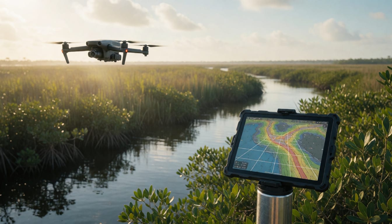
Commercial Drone Services Built for Precision
FalconCDS delivers high-accuracy geospatial data for construction, energy, agriculture, and infrastructure teams who need reliable, actionable insights—not just flight time. Our services turn complex sites into clear, measurable data: orthomosaic maps, 3D models, thermal inspections, and topographic surveys—all processed to project-grade standards.
Core Services
Our industry-standard workflows combine RTK-enabled drones with professional photogrammetry to generate centimeter-accurate deliverables—without ground control points—cutting field time and improving consistency.
See all of Core Services →- 01
Mapping & Surveying
Orthomosaic maps, DEMs, DTMs, and contour lines for earthwork, grading, and permitting.
- 02
Aerial Photography
4K video and high-res stills for progress docs, marketing, and real estate.
- 03
Infrastructure Inspections
Thermal and zoom-enabled visual inspections of towers, bridges, roofs, and facilities.
Reliable Operations, Enterprise-Grade Data
We operate as your extended field team—licensed, insured, and ready to deploy. Every mission follows strict safety and data integrity protocols, so your engineering and operations teams trust the inputs they receive.
See all of Reliable Operations, Enterprise-Grade →FAA Part 107 Certified Pilots
All operators are licensed and carry comprehensive liability coverage.
RTK-Capable Hardware
Enterprise drones with Real-Time Kinematic positioning for survey-grade accuracy.
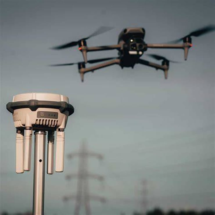
How Our Data Is Made
Our technical process turns raw imagery into decision-ready deliverables: RTK base corrections ensure positional fidelity; orthophotos eliminate distortion; dense point clouds support volumetric analysis—and 3D models let you inspect from any angle without leaving the office.
See all of How Our Data Is Made →- RTK Base StationReal-time satellite correction eliminates post-processing delays and ground control needs.
- Orthophoto ImagingDistortion-free, georeferenced aerial mosaics—measurable, scalable, and CAD-ready.
- Topographic Survey DataDTMs, DEMs, and contours for drainage, grading, and earthwork volume analysis.
- 3D Modeling & VisualizationPhotorealistic digital twins for planning, inspection, and stakeholder review.
- Interactive 3D TimelineRepeat flights create progress baselines—compare to CAD, track subcontractors, and keep remote teams aligned.
- Panoramic Photography360° stitched aerial views for site context, virtual tours, and marketing presentation.
Start Your Project
Tell us your project scope and timeline—we respond within one business day with a tailored quote and options for field scheduling.