FalconCDS
Topographic Survey Data
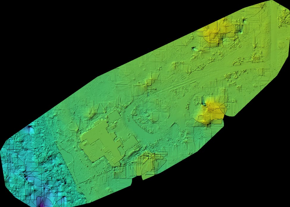
DTMs, DEMs, and contour maps provide measurable elevation data for drainage, grading, and earthwork volume analysis.
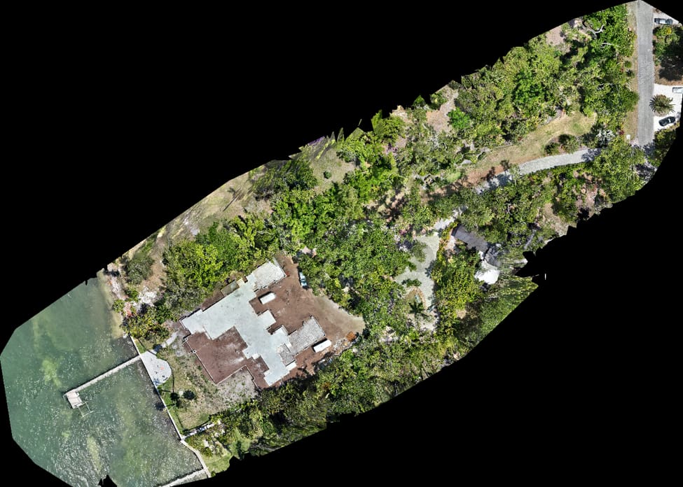
Topographic data from FalconCDS begins with a dense point cloud generated from overlapping imagery. We separate ground points from vegetation and man-made features using terrain-aware classification algorithms, producing a clean Digital Terrain Model (DTM). This model supports accurate grading plans, stormwater modeling, and cut-and-fill calculations. Unlike point-sparse terrestrial surveys, our datasets capture subtle terrain features that could otherwise be missed.
We generate deliverables in standard formats including ESRI Shapefile contours, LAS point clouds, and GeoTIFF raster DEMs. Contour intervals are customizable to meet project-specific needs—whether for detailed lot grading or regional drainage assessments. The point cloud density ensures reliable surface interpolation, even across sloped or irregular terrain, giving engineers confidence in volume estimates for earthwork planning and cost estimation.
This data supports regulatory submissions and stakeholder coordination by providing an objective, measurable baseline. For infrastructure projects, topographic inputs feed directly into hydraulic models or civil design software like AutoCAD Civil 3D. Clients reduce survey rework, speed up plan review cycles, and improve communication between field crews and design teams through shared, accurate elevation references.