 FalconCDS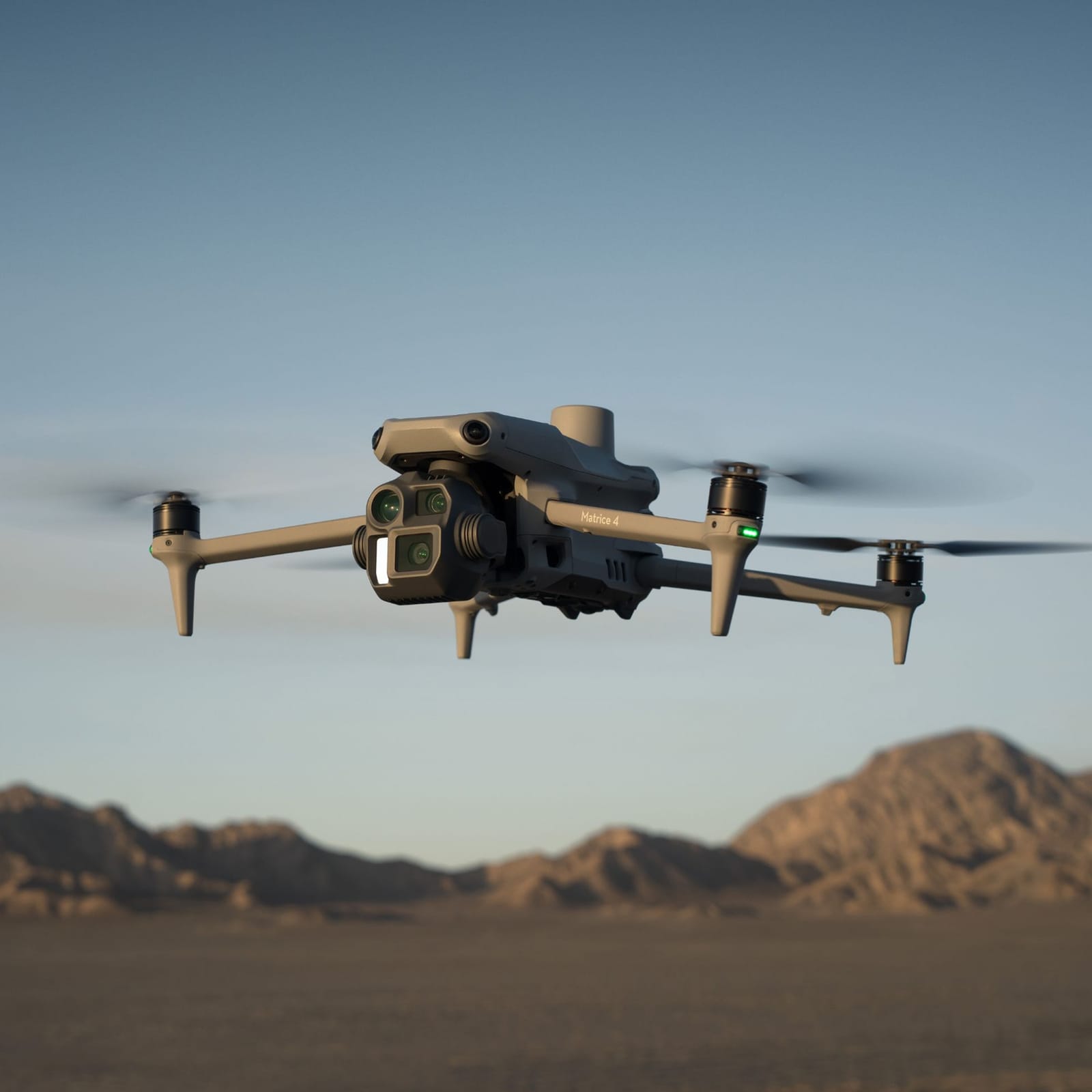
Mapping & Surveying
Centimeter-accurate orthomosaic maps, DEMs, DTMs, and contour lines for grading, earthwork, and permitting with no ground control needed.
Read more →FalconCDS delivers enterprise-grade geospatial solutions using RTK-enabled drones and professional photogrammetry workflows. Our services generate centimeter-accurate, legally defensible deliverables without ground control points—reducing field time, eliminating rework, and accelerating decision cycles. Whether you need precise terrain models, visual documentation, or infrastructure assessments, our certified operators and validated data pipelines ensure reliable, actionable insights for engineering and operations teams across construction, energy, agriculture, and infrastructure sectors.
Centimeter-accurate orthomosaic maps, DEMs, DTMs, and contour lines for grading, earthwork, and permitting with no ground control needed.
Read more →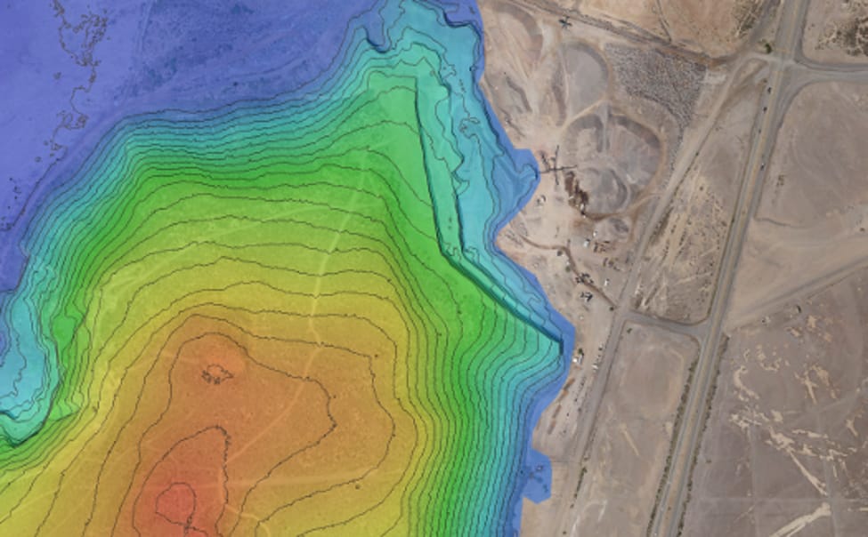
High-resolution stills and 4K video for marketing, real estate, progress tracking, and visual documentation without ground access.
Read more →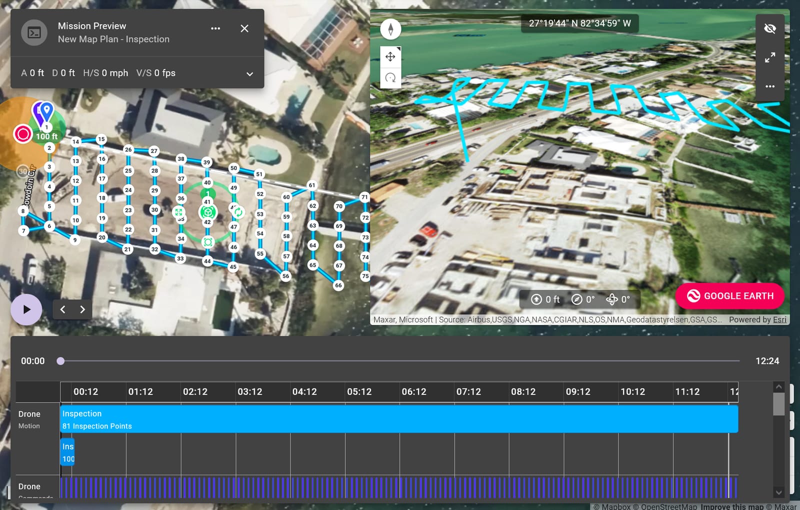
Thermal and zoom-enabled visual inspections of towers, bridges, roofs, and facilities—without scaffolding, rope access, or project disruption.
Read more →Tell us your project scope and timeline—we respond within one business day with a tailored quote and options for field scheduling.