FalconCDS
Aerial Photography
High-resolution stills and 4K video for marketing, real estate, progress tracking, and visual documentation without ground access.
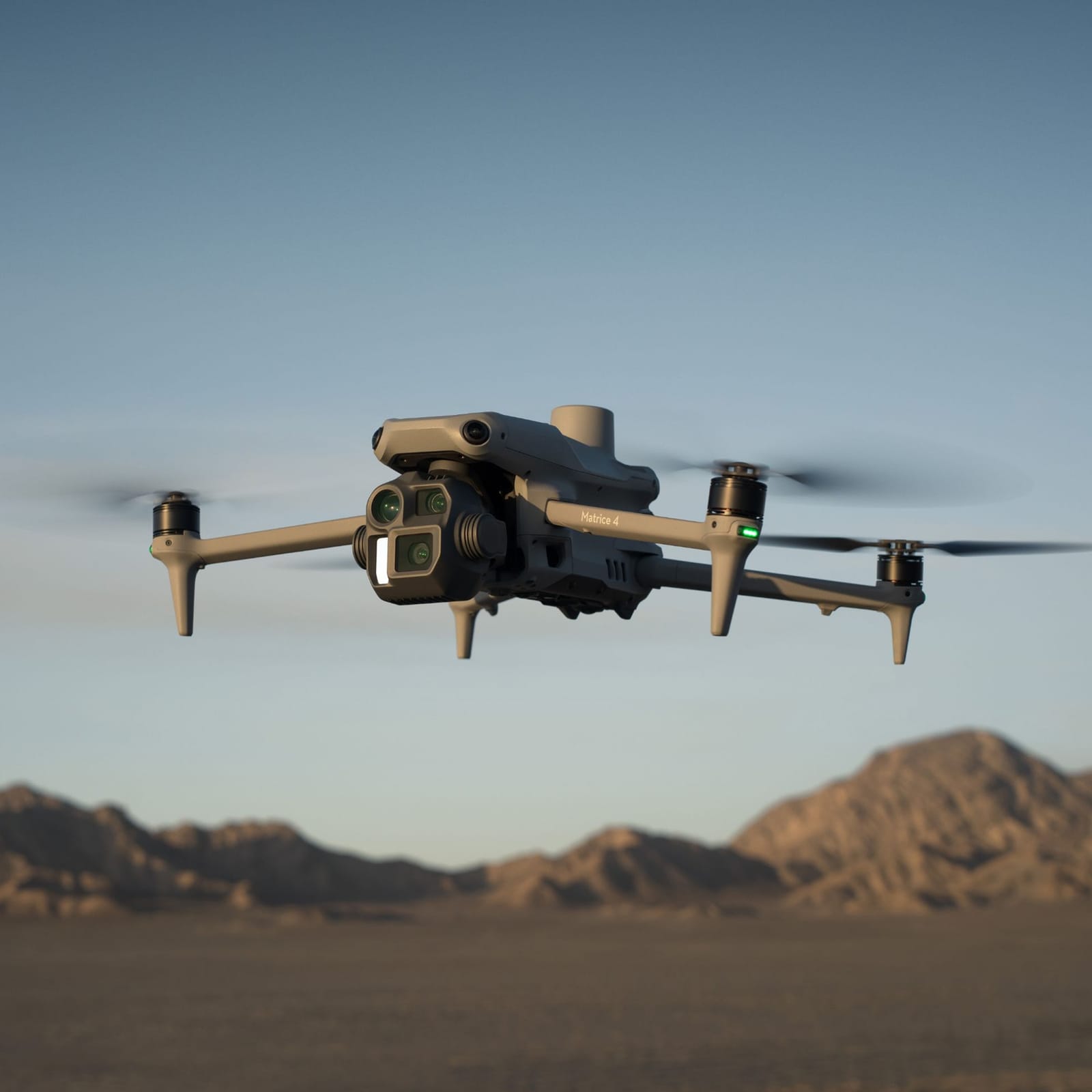
FalconCDS captures true-color, high-megapixel aerial imagery using calibrated sensors on enterprise drones. This imagery serves as reliable progress documentation for ongoing projects and provides compelling visual context for marketing and stakeholder presentations. Unlike ground-based photography, aerial views reveal site-wide relationships, spatial sequencing, and scale—key for conveying project scale and complexity to remote audiences.
Our 4K video capabilities support time-lapse construction sequences, emergency response planning, and real estate storytelling. The footage is stabilized and professionally color-graded to meet broadcast standards, ensuring consistent quality whether used in internal reports or public-facing materials. Image metadata is retained for traceability, and files are delivered in standard formats including JPEG, PNG, and MP4.
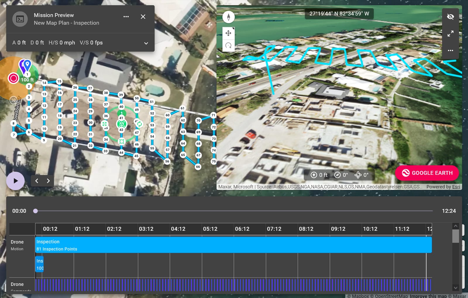
We coordinate with clients to determine optimal lighting, flight paths, and regulatory constraints before every shoot. Weather windows are carefully evaluated to ensure clean imagery free of motion blur or atmospheric distortion. Safety protocols include pre-flight airspace checks and visual line-of-sight operations under Part 107, minimizing risk during sensitive or high-traffic project phases.