FalconCDS
RTK Base Station
RTK base correction eliminates post-processing delays and ground control needs for immediate, centimeter-accurate mapping.
Our RTK base station continuously communicates with satellite constellations and airborne receivers to correct positioning errors in real time. This eliminates the need for ground control points across the survey area and removes post-processing steps that slow down traditional methods. As a result, field time shrinks dramatically while data fidelity stays at survey-grade levels. Clients gain immediate insight without waiting hours or days for corrections.
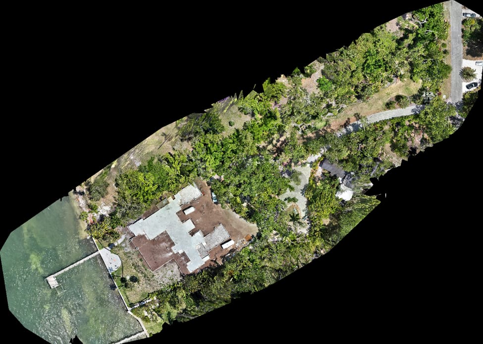
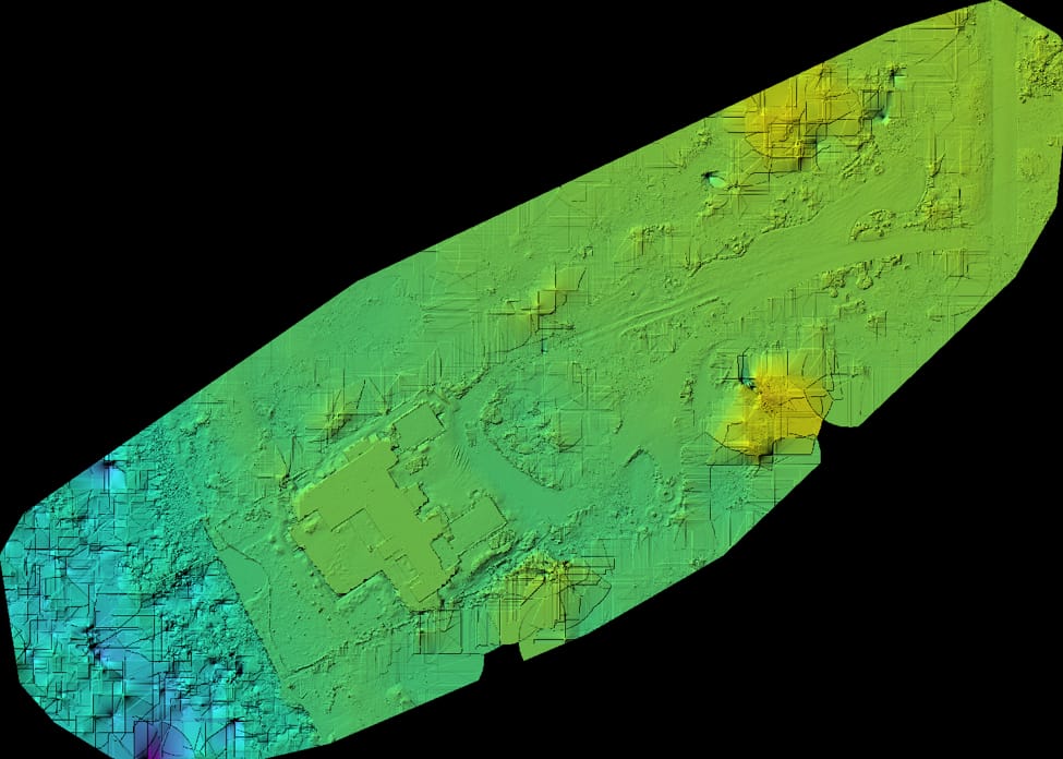
The base station remains on stable, known coordinates during flight operations, broadcasting correction data via radio or cellular link. This ensures every GPS fix captured by the drone’s onboard sensor carries the same high-precision reference frame. The outcome is consistent accuracy across large sites—up to 500 acres—as verified in our mapping missions—and eliminates the cumulative errors common with post-processed solutions that rely on scattered ground control targets.
This real-time correction approach is especially valuable for time-sensitive operations like emergency response, grading verification, and daily progress checks. Clients who need daily or weekly re-flights avoid recalibrating or relaying ground control, which reduces equipment deployment, site access constraints, and overall project risk. The workflow supports rapid deployment: we can initiate data capture within 24 hours once base coordinates are confirmed.