FalconCDS
Orthophoto Imaging
Distortion-free, georeferenced aerial mosaics deliver measurable, scalable, and CAD-ready imagery for design and documentation.
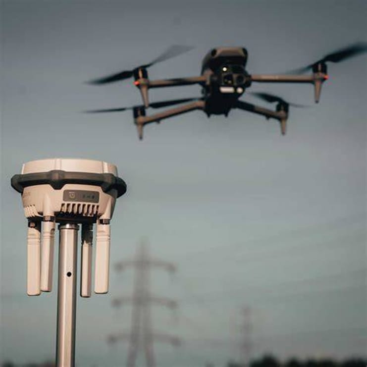
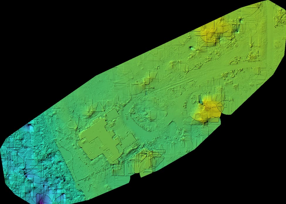
Orthophotos eliminate the perspective distortion and scale variation found in standard aerial photos. By using precise orientation parameters from our RTK-enabled flights and photogrammetry software, we compute a uniform image scale across the entire mosaic. This allows accurate distance, area, and coordinate measurements directly within CAD or GIS platforms. For construction teams, this means checking as-built conditions or stakeout points without ever leaving the office.
Our orthomosaic outputs are delivered in standard formats—GeoTIFF or JPEG2000 with world files—ensuring seamless integration into common engineering workflows. They include embedded metadata with precise geolocation and elevation reference, which is essential for alignment with existing site plans and legal descriptions. Stakeholders can overlay them with topographic contours, zoning layers, or utility maps to detect conflicts early and reduce costly rework.
High-resolution nadir captures—combined with dense image overlap and careful weather scheduling—ensure clean, shadow-minimized mosaics even over complex terrain. This quality is critical for digital mapping, right-of-way analysis, and permitting submissions where scale integrity is non-negotiable. Clients receive clean, single-source imagery that replaces labor-intensive field surveys and reduces decision latency.