FalconCDS
RTK-Capable Hardware
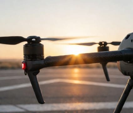
Enterprise drones equipped with RTK systems deliver centimeter-level geospatial accuracy without ground control points.
RTK (Real-Time Kinematic) positioning corrects satellite signal errors in real time using a fixed base station or network correction service. FalconCDS uses drones with integrated RTK GNSS receivers that communicate directly with base stations or NTRIP networks. This eliminates post-processing delays and enables centimeter-level horizontal and vertical accuracy in single flights.
This precision is critical for engineering applications like cut-and-fill calculations, floodplain mapping, or infrastructure layout. With RTK, field teams reduce or eliminate the need for physical ground control points, shortening site time and lowering labor costs. The resulting point clouds and orthomosaics align with CAD and BIM workflows without correction offsets.
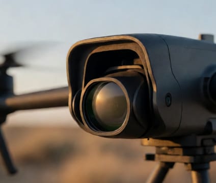
Hardware consistency ensures data reliability across seasons, terrains, and project scopes. FalconCDS maintains calibrated sensors and verified baseline setups to maintain accuracy benchmarks. Teams use redundant positioning systems—including dual-frequency GNSS and IMU fusion—to guarantee data integrity during gusty conditions or signal interference near metal structures.