FalconCDS
Interactive 3D Timeline
Repeat flights create chronological 3D baselines for tracking progress, comparing to CAD, and aligning remote teams.
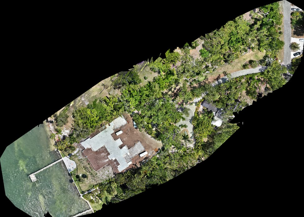
Our Interactive 3D Timeline captures repeat flights over the same site at scheduled intervals, building a visual history of construction or development progress. Each flight uses identical flight paths and processing settings, ensuring consistent scale and orientation across dates. Project managers overlay prior models or CAD plans to assess how closely actual work aligns with intent—detecting delays, errors, or deviations before they escalate.
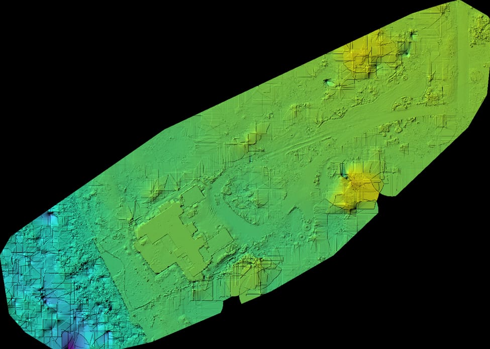
The timeline integrates with common planning tools to support subcontractor accountability and change order verification. By comparing sequential models, teams quantify volume changes, quantify work completed, and verify completion of key milestones without relying on photo logs or manual site visits. For owners managing multiple sites or remote stakeholders, the timeline serves as a transparent, auditable record of physical progress.
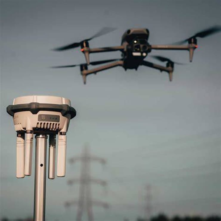
We standardize flight geometry across missions to ensure geometric consistency, using automated planning routines and fixed return points. This eliminates human drift in flight paths that can confuse change analysis. Clients receive time-stamped 3D snapshots with metadata—including weather, sensor settings, and GNSS accuracy—that support forensic review or dispute resolution if needed.