FalconCDS
Mapping & Surveying
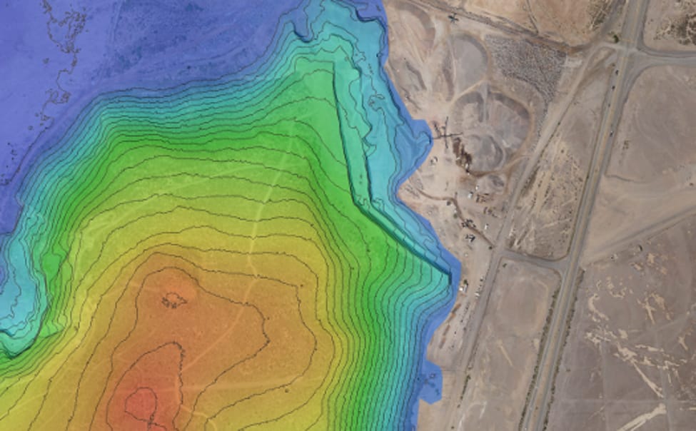
Centimeter-accurate orthomosaic maps, DEMs, DTMs, and contour lines for grading, earthwork, and permitting with no ground control needed.
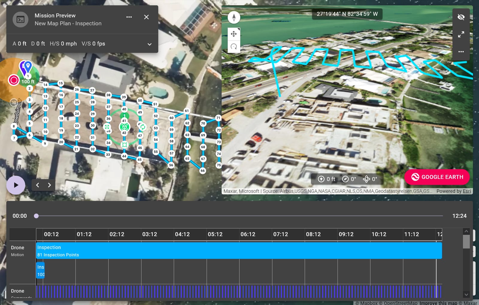
FalconCDS uses RTK GPS-enabled drones to capture georeferenced aerial imagery and compute dense point clouds in real time. This eliminates the need for time-consuming on-site ground control point setup, slashing field time while maintaining survey-grade precision. For construction and land development teams, this means faster turnaround on site plans, volumetric stockpile calculations, and design validation—all derived from a single unified dataset.
Our processed deliverables include orthomosaic maps, digital elevation models, and digital terrain models with consistent horizontal and vertical accuracy. These outputs support grading design, drainage analysis, and earthwork quantity estimates critical for permitting and quality assurance. The workflows scale efficiently across sites up to 500 acres while preserving geometric fidelity across overlapping flight blocks.
All mapping missions are executed following FAA Part 107 protocols and internal quality control checkpoints. We provide raw point clouds, classified terrain models, and orthophotos in standard GIS formats like GeoTIFF, Shapefile, and LAZ. Engineering teams integrate these directly into Civil 3D or other design platforms to reduce translation errors and improve collaboration across disciplines.