 FalconCDS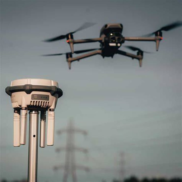
RTK Base Station
RTK base correction eliminates post-processing delays and ground control needs for immediate, centimeter-accurate mapping.
Read more →FalconCDS transforms raw aerial data into mission-ready deliverables through a tightly integrated technical workflow. We use RTK base corrections for centimeter-level positional fidelity, orthophoto mosaics free of distortion and fully georeferenced, and dense point clouds that support precise volumetric and topographic analysis. Our 3D models and interactive timelines give you visibility into project progress, while panoramic views offer immersive site context—all delivered with FAA-certified precision and no ground control dependency.
RTK base correction eliminates post-processing delays and ground control needs for immediate, centimeter-accurate mapping.
Read more →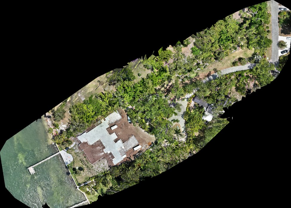
Distortion-free, georeferenced aerial mosaics deliver measurable, scalable, and CAD-ready imagery for design and documentation.
Read more →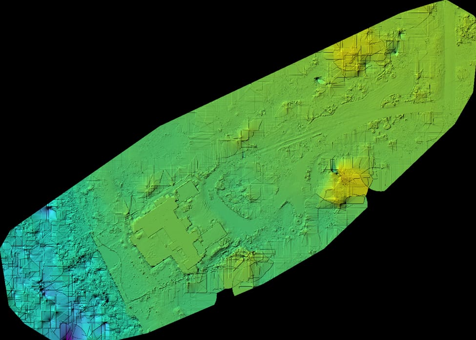
DTMs, DEMs, and contour maps provide measurable elevation data for drainage, grading, and earthwork volume analysis.
Read more →Photorealistic 3D models create digital twins for planning, inspection, and stakeholder review without site access.
Read more →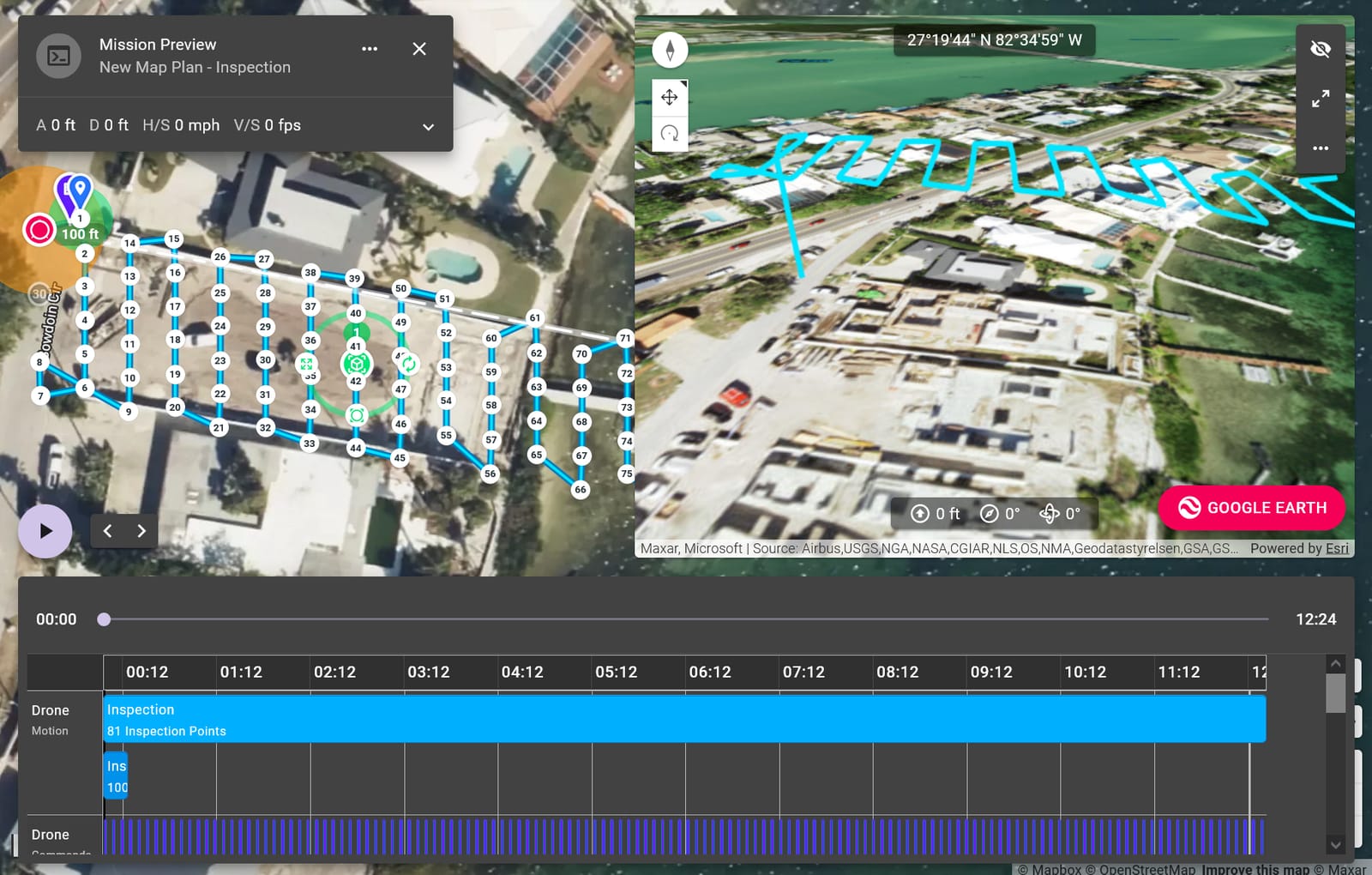
Repeat flights create chronological 3D baselines for tracking progress, comparing to CAD, and aligning remote teams.
Read more →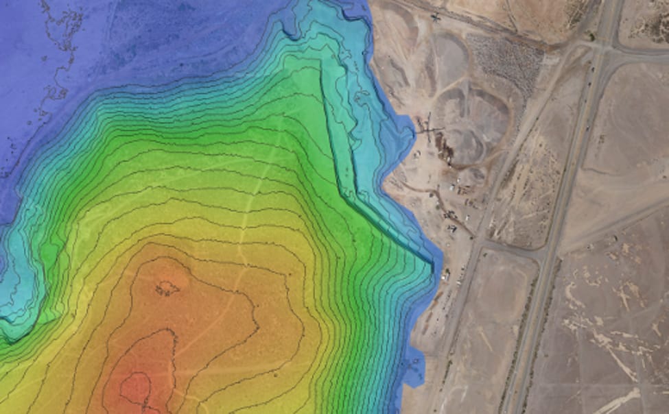
360° stitched aerial views provide immersive site context for virtual tours, marketing, and stakeholder presentations.
Read more →Tell us your project scope and timeline—we respond within one business day with a tailored quote and options for field scheduling.