Start exploring
Home › Sights

Top sights in New York City

The places most worth your time in and around New York City, and where to find them.

On the map

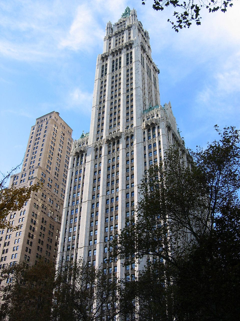
Woolworth Building
Photo: No machine-readable author provided. Aude assumed (based on copyright claims). · Public domain

Woolworth Building

0.2 km from the centre

The Woolworth Building is a 792-foot-tall (241 m) residential building and early skyscraper at 233 Broadway in the Tribeca neighborhood of Lower Manhattan in New York City, United States. Designed by Cass Gilbert in the Neo-Gothic style, the Woolworth Building was originally an office skyscraper. It was the tallest building in the world from 1913 to 1929, and it remains one of the United States' 100 tallest buildings as of 2024.

More on Wikipedia →
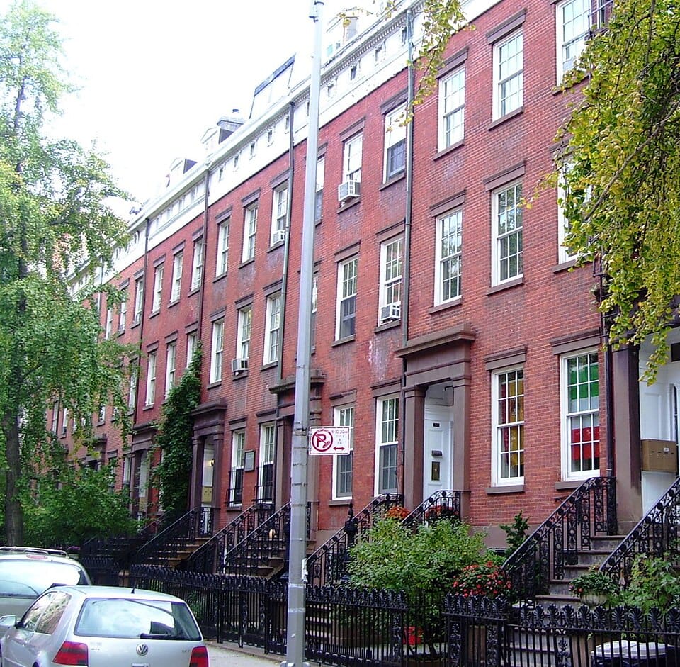
Chelsea, Manhattan
Photo: Beyond My Ken · CC BY-SA 4.0

Chelsea, Manhattan

3.8 km from the centre

Chelsea is a neighborhood on the West Side of the borough of Manhattan in New York City. The area's boundaries are roughly 14th Street to the south, the Hudson River and West Street to the west, and Sixth Avenue to the east, with its northern boundary variously described as near the upper 20s or 34th Street, the next major crosstown street to the north. To the northwest of Chelsea is the neighborhood of Hell's Kitchen, as well as Hudson Yards; to the northeast are the Garment District and the remainder of Midtown South; to the east are NoMad and the Flatiron District; to the southwest is the Meatpacking District; and to the south and southeast are the West Village and the remainder of Greenwich Village.

More on Wikipedia →
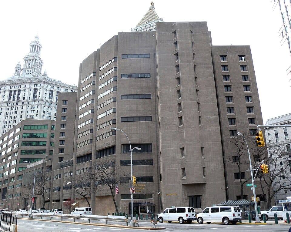
Metropolitan Correctional Center, New York
Photo: Jim.henderson · CC0

Metropolitan Correctional Center, New York

0.4 km from the centre

The Metropolitan Correctional Center, New York (MCC New York) is a temporarily-closed United States federal administrative detention facility in the Civic Center of Lower Manhattan, New York City. It is located on Park Row behind the Thurgood Marshall United States Courthouse at Foley Square. It is operated by the Federal Bureau of Prisons, a division of the United States Department of Justice.

More on Wikipedia →
St. Paul's Chapel
Photo: ajay_suresh · CC BY 2.0

St. Paul's Chapel

0.3 km from the centre

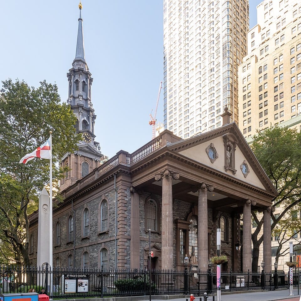
St. Paul's Chapel is a chapel building of Trinity Church, an Episcopal parish, at 209 Broadway, between Fulton Street and Vesey Street, in Lower Manhattan, New York City. Built in 1766, it is the oldest surviving church building in Manhattan and one of the nation's best known examples of Georgian architecture in a church.

More on Wikipedia →
New York City Hall
Photo: Momos · CC BY-SA 3.0

New York City Hall

0 km from the centre

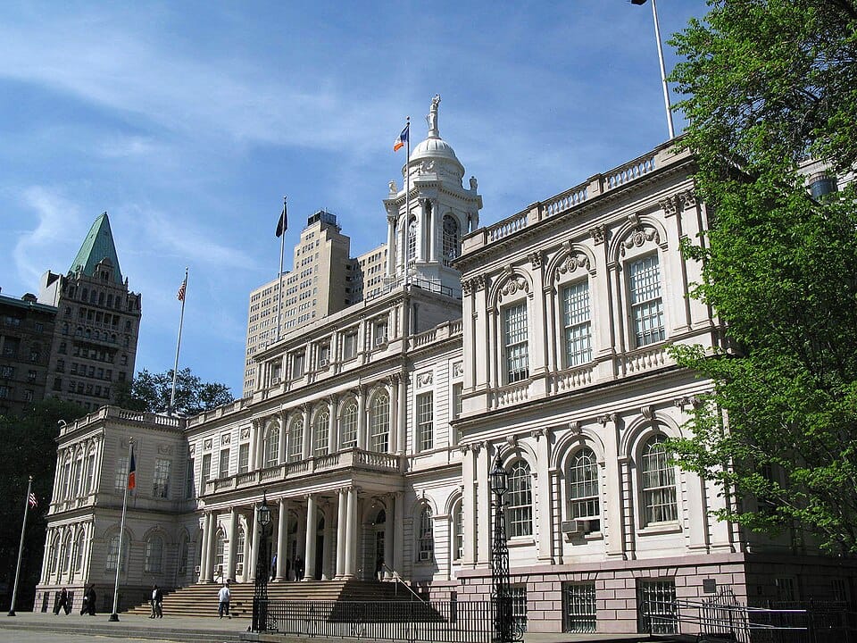
New York City Hall is the seat of New York City government, located at the center of City Hall Park in the Civic Center area of Lower Manhattan, between Broadway, Park Row, and Chambers Street. Constructed from 1803 to 1812, the building is the oldest city hall in the United States that still houses its original governmental functions. The building houses the office of the Mayor of New York City and the chambers of the New York City Council.

More on Wikipedia →
★

Climate of New York City

0 km from the centre

According to the Köppen climate classification, New York City features a humid subtropical climate (Cfa). The city experiences long, hot, humid summers with frequent late day thundershowers, and moderately cold winters, with snow or a mix of snow and rain on occasion. New York's location in the southernmost part of the state, its proximity to the Atlantic Ocean, and its large population (and, consequentially, a strong urban heat island effect) all shape its climate.

More on Wikipedia →
City Hall station (IRT Lexington Avenue Line)
Photo: Photographer: unknown · Public domain

City Hall station (IRT Lexington Avenue Line)

0.1 km from the centre

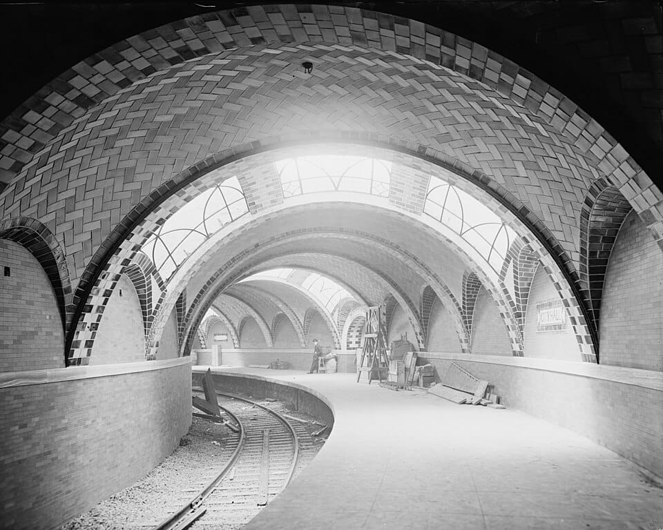
The City Hall station, also known as City Hall Loop station, is a closed station on the IRT Lexington Avenue Line of the New York City Subway. It is located under City Hall Park, next to New York City Hall, in the Civic Center neighborhood of Manhattan in New York City. The station was constructed for the Interborough Rapid Transit Company (IRT) as the southern terminal of the city's first subway line, which was approved in 1900.

More on Wikipedia →
Peter Luger Steak House
Photo: Leonard J. DeFrancisci · CC BY-SA 3.0

Peter Luger Steak House

3.7 km from the centre

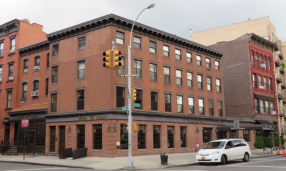
Peter Luger Steak House is a steakhouse located in the Williamsburg section of Brooklyn, New York City, with a second location in Great Neck, New York, in the western part of Long Island. It was named to the James Beard Foundation's list of "America's Classics" in 2002 and is the third oldest operating steakhouse in New York City, after Keens and Old Homestead Steakhouse. On January 10, 2022, Peter Luger's and Caesars Palace announced the opening of a third location in Caesars Palace Las Vegas, Nevada in the location formerly occupied by Rao's.

More on Wikipedia →
★

Tunnel (New York nightclub)

4.4 km from the centre

Tunnel was a nightclub located at 220 Twelfth Avenue (between 27th and 28th Streets), in the Chelsea neighborhood of Manhattan, New York City. It operated from 1986 to 2001. The nightclub was located within the Terminal Warehouse Company Central Stores Building, also known as Chelsea Terminal Warehouse, which is now part of the West Chelsea Historic District.

More on Wikipedia →
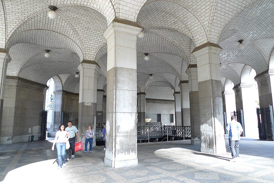
Manhattan Municipal Building
Photo: Momos · CC BY-SA 3.0

Manhattan Municipal Building

0.2 km from the centre

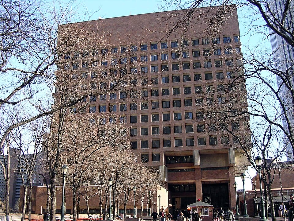
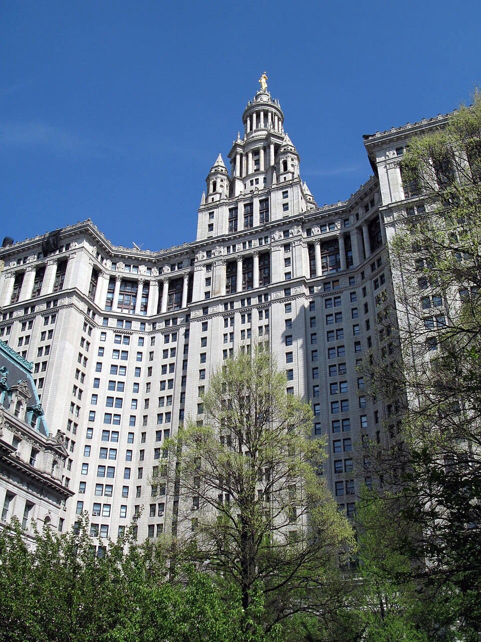
The David N. Dinkins Municipal Building (originally the Municipal Building and later known as the Manhattan Municipal Building) is a 40-story, 580-foot (180 m) building at 1 Centre Street, east of Chambers Street, in the Civic Center neighborhood of Manhattan in New York City. The structure was built to accommodate increased governmental space demands after the 1898 consolidation of the city's five boroughs. Construction began in 1909 and continued through 1914 at a total cost of $12 million (equivalent to $276,794,000 in 2024).

More on Wikipedia →
Beach Pneumatic Transit
Photo: Unknown photographer · Public domain

Beach Pneumatic Transit

0.1 km from the centre

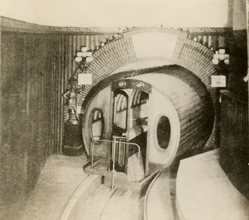
The Beach Pneumatic Transit was an early technology demonstrator for underground public transit in New York City. Running on pneumatic power, it was built by Alfred Ely Beach between 1869 and early 1870. The original terminus resided in the basement of the Rogers Peet Building in Lower Manhattan, near the old City Hall station.

More on Wikipedia →
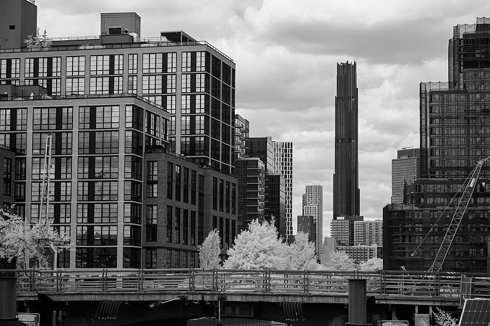
Four Seasons Hotel New York Downtown
Photo: Fletcher · CC BY 4.0

Four Seasons Hotel New York Downtown

0.3 km from the centre

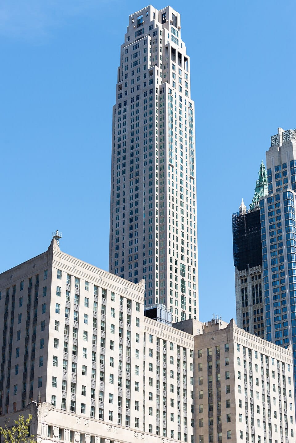
The Four Seasons Hotel New York Downtown, also known as 30 Park Place, is a hotel and residential skyscraper in Tribeca, Manhattan, New York City. At 926 feet (282 m), the tower is one of the tallest residential buildings in Lower Manhattan. The top floors of the 82-story building, known as the Four Seasons Private Residences New York Downtown, have 157 residences, ranging from one to six bedrooms, all reached through a dedicated residential lobby at 30 Park Place.

More on Wikipedia →
★

The Real World: Brooklyn

4.2 km from the centre

The Real World: Brooklyn is the twenty-first season of MTV's reality television series The Real World, which focuses on a group of diverse strangers living together for several months in a different city each season, as cameras follow their lives and interpersonal relationships. It is the fourth season of The Real World to be filmed in the Mid-Atlantic region of the United States, specifically in New York City after The Real World: Back to New York. It was the first season to include an openly transgender cast member, Katelynn Cusanelli.

More on Wikipedia →
Gowanus, Brooklyn
Photo: Clyde Charles Brown · CC BY-SA 4.0

Gowanus, Brooklyn

4.4 km from the centre

Gowanus ( gə-WAH-nəs) is a neighborhood in the northwestern portion of the New York City borough of Brooklyn, within the area once known as South Brooklyn. The neighborhood is part of Brooklyn Community District 6. Gowanus is bounded by Wyckoff Street on the north, Fourth Avenue on the east, the Gowanus Expressway to the south, and Bond Street to the west.

More on Wikipedia →
★

Cobble Hill, Brooklyn

2.9 km from the centre

Cobble Hill is a neighborhood in the northwestern portion of the New York City borough of Brooklyn. A small neighborhood comprising 40 blocks, Cobble Hill sits adjacent to Brooklyn Heights to the north, Boerum Hill to the east, Carroll Gardens to the south, and the Columbia Street Waterfront District to the west. It is bounded by Atlantic Avenue (north), Court Street (east), Degraw Street (south) and the Brooklyn–Queens Expressway (west).

More on Wikipedia →
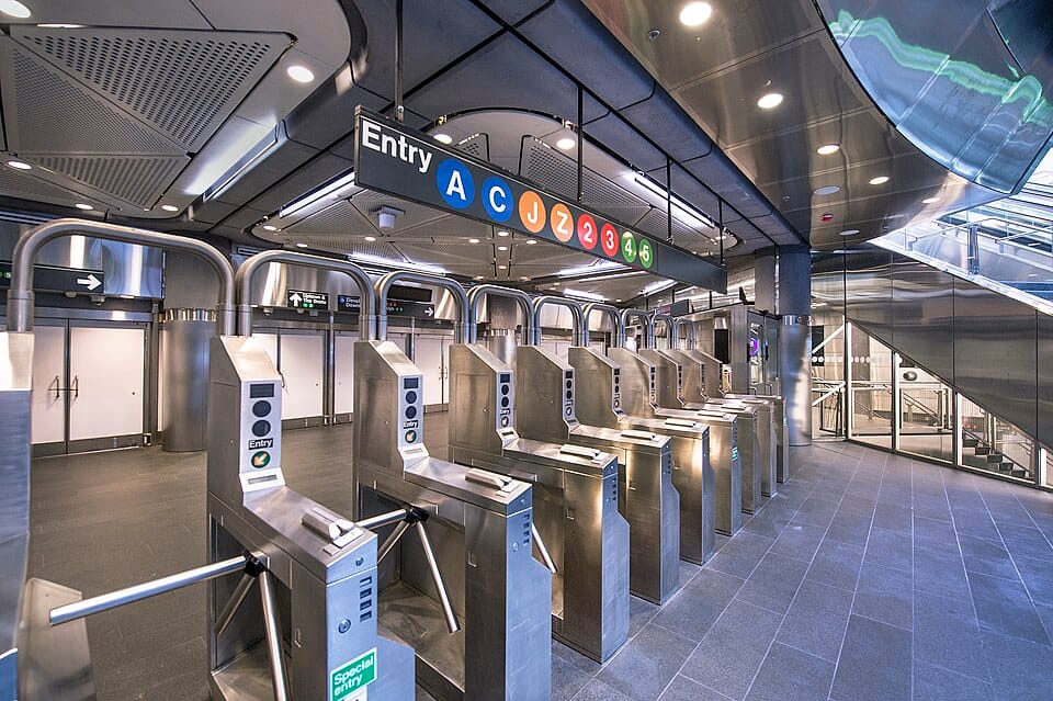
Brooklyn Bridge–City Hall/Chambers Street station
Photo: PAT M IN NYC (Wikis Take Manhattan 2009 participant) · CC BY-SA 3.0

Brooklyn Bridge–City Hall/Chambers Street station

0.1 km from the centre

The Brooklyn Bridge–City Hall/Chambers Street station is a New York City Subway station complex in Lower Manhattan. The complex is served by trains of the IRT Lexington Avenue Line and the BMT Nassau Street Line. The station is served by the 4, 6, and J trains at all times; the 5 train at all times except late nights; the <6> train during weekdays in the peak direction; and the Z train during rush hours in the peak direction.

More on Wikipedia →