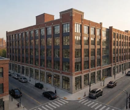
District Rezoning
Track rezoning phases and density bumps while overlaying school enrollment and parking demand over time.
Rezoning teams build a time-based scenario where parcels transition through zoning districts at defined intervals—each with approved density increases. School capacity and parking supply datasets are linked to parcel-level zoning rules, so visual overlays show how projected enrollment changes align with available seats and how parking demand shifts as units add up over time.
Historical enrollment trends and school construction schedules inform capacity baselines. Teams can layer in projected household formation by unit type (e.g., family vs. single occupancy) and compare against current and projected school supply. Parking metrics include both on-street availability and required off-street provisions per zoning code, updated for phased development permits.
Shared sandbox features allow planners to test rezoning sequences side-by-side—such as accelerating one subdistrict while delaying another—and instantly see ripple effects on capacity buffers and service thresholds. Comments and approvals are time-stamped and attached to specific parcels, preserving regulatory context through each density bump.