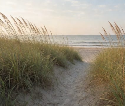
Marsh Trails
Follow tidal pulses on low-impact trails where cordgrass signals changes in salinity, and history surfaces with each receding waterline.
The Oatland Island Nature Center boardwalk stretches 1.5 miles across a dynamic tidal marsh, with sections submerged at peak tide. Paths here are intentionally minimal—elevated wood grates reduce soil compaction and allow sediment exchange. interpreters note how cordgrass (Spartina alterniflora) bends differently toward prevailing winds, a visual cue that helps identify marsh edge stability and erosion patterns over time. Before hiking, consult tide tables; early morning low tides offer the safest access and best wildlife visibility.
Many local marsh trails align with historic routes used by Indigenous peoples and later settlers, who relied on tidal cycles to navigate and harvest resources. At places like Skidaway Island State Park’s Trail of the Titans, interpretive signage explains how salt marsh die-offs during droughts reshape food webs—crabs retreat deeper into burrows, wading birds shift foraging zones. These trails rarely appear on standard maps and lack signage beyond basics—carrying a printed guide from the visitor center is advised.
Conservation work here includes marsh armoring with living shorelines—oyster reefs and native plantings—that reduce bank erosion while supporting marine life. Visitors are asked to stay on boards or firm ground to avoid crushing burrowing organisms like fiddler crabs and marsh periwinkles. Storm surges can temporarily close trails; checking with the Georgia DNR or local nature center before departure prevents unsafe access and protects sensitive habitat.