Walkability Logic
Sidewalk widths, curb cuts, and pothole clusters shape walking experience—not averages, but blocks where stepping feels like drifting through a current.
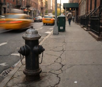
In neighborhoods like Tribeca or Park Slope, sidewalks remain generous enough for strollers and circulation, yet even there, a single construction fence can force pedestrians into the street. In East New York or South Bronx, sidewalk gaps force unpredictable detours into grassy median strips or along narrow service roads—often without curb cuts, making navigation difficult for wheelchair users or those with strollers. The city’s walkability index often masks these micro-inconsistencies, while locals navigate based on memory of where potholes cluster after freeze-thaw cycles—especially along roads that haven’t resurfaced in over a decade.
A subway corridor in Long Island City offers wide, recently renovated walkways near a major station, but in Jackson Heights, sidewalks narrow to under six feet between parked cars and construction scaffolding, making two-way passage difficult. In Brooklyn’s Greenpoint, north of Brooklyn-Queens Expressway, pedestrian plazas break up the grid with open corners, but winter wind tunnels from elevated lines create unexpected obstacles. Curb ramps, though legally required, remain uneven—some slope too steeply, others lack tactile warnings. Walking here means reading the ground: cracked granite, sunken concrete, or uneven tiles signal where to step with more attention.
Subways don’t dictate walking but influence it—pedestrian flows pile up near station exits during rush hour, especially in areas like Times Square or Jamaica Center, where wide corridors funnel into tight stairwells. In Financial District alleyways, sidewalk tables and outdoor seating encroach daily on remaining clearance, narrowing passable routes further. When snow falls, cleared sidewalks vanish quickly near bus stops or fire hydrants but persist along main arteries where plows loop regularly. Locals develop instincts for snow routes, where plowed lanes stay open longer than others. This practical knowledge isn’t in any guidebook—it’s earned block by block.