Flood & Tide Guides
Which blocks hold water, which streets flood at king tides, and how to plan around them.
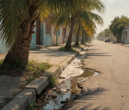
Tides and storm Surge in Miami are governed by lunar cycles, wind patterns, and sea level rise, making certain low-lying areas consistently vulnerable. Neighborhoods in low-lying areas such as Brickell, Downtown, and parts of Miami Beach see frequent tidal flooding at king tides, especially during spring high-water periods. Understanding which streets hold water can prevent costly delays or vehicle damage—especially during rush hour or when attending events. Resources from NOAA and local stormwater reports help identify patterns tied to specific neighborhoods and drainage basins.
Some neighborhoods rely on pump stations that can fail during heavy rains, especially when power surges or backups occur. Areas near the Miami River, including parts of Edgewater and the Design District, may flood when tide and rainfall coincide. Others, like South Beach’s barrier island corridor, depend on sea walls and beach nourishment cycles. Planning routes using real-time tide charts and storm alerts gives you flexibility—like avoiding low-lying underpasses during high tide or using higher-elevation corridors such as Biscayne Boulevard as a detour.
Flood resilience here isn’t just about concrete—it’s about knowing where nature absorbs water and where it surges. Wetlands, canals, and even old fill sites create micro-zones where a few blocks difference can mean dry shoes or dry cleaning bills. Local floodplain maps show historical flooding points and projected flood zones under different climate scenarios. Keeping a printed tide schedule and a neighborhood-specific reference in your phone or bag pays off more than relying solely on GPS routing.